What is recorded here
Fairy forts in Cork are not fantasies but abandoned human settlements misread by later belief. In Ballinaboy a circular enclosure about forty metres across stood on the west side of a field until ploughing and fencing cut through it. Maps from 1842 to 1934 still showed its hachured ridge, but the land has since taken most of the shape back. What remains is a scattered concentration of stones and a shallow northern dip, enough to suggest that people once drew a boundary around their own lives before forgetting the name of the place.
In tillage. Hachured on 1842, 1902 and 1934 OS 6-inch maps as W half of circular enclosure (diam. c. 40m), truncated by field fence to E. Levelled. Concentration of stones in area of site. Slight depression on N side indicates line of fosse.
The above description is derived from the published 'Archaeological Inventory of County Cork. Volume 2: East and South Cork' (Dublin: Stationery Office, 1994). In certain instances the entries have been revised and updated in the light of recent research.
Date of upload/revision: 14 January 2009
The monument record does not grant public access. Check the route and ask the landowner before entering private land.
- What survives
- Recorded monument
Places near here
 IndicatedGraveyard · 1455 yd
 Coolkirky HouseRuins · 1.0 mi
 Enclosure in AdamstownEnclosure · 1.1 mi
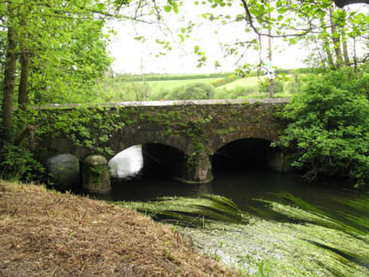 Fivemile Bridgebridge · 1.1 mi
 Sunday's WellSpring · 1.9 mi
 Dinny Barry MemorialMemorial · 2.0 mi
 Meadstown Castle (Site of)Castle, unclassified · 2.2 mi
 Curra WoodForest · 2.3 mi
 St Laitiarain's WellSpring · 2.5 mi
 Rumley's Open FarmHeritage attraction · 2.5 mi
 Cullen Castle (Site of)Castle, unclassified · 2.6 mi
 Manx2 Flight 7100aviation accident · 2.8 mi