What is recorded here
Fairy forts are earthen rings people built and lived in before they became legends. In Ballaghanea the ring measures about thirty-two metres across, but farm work has flattened much of the bank and hidden the entrance. The surviving ridge still marks a human choice to surround, protect and belong somewhere ordinary.
Marked 'Fort' on OS 1876 ed. Not marked on 1836 ed. Raised circular area (int. diam. c. 32m) enclosed by a low earthen bank which has been incorporated into the field boundary from SSW-W-NE. Elsewhere it has been levelled, however, from NE-ESE its outline is still identifiable. Original entrance not recognisable.
The above description is derived from the published 'Archaeological Inventory of County Cavan' (Dublin: Stationery Office, 1995). In certain instances the entries have been revised and updated in the light of recent research.
Date of upload/revision: 22 December 2008
The monument record does not grant public access. Check the route and ask the landowner before entering private land.
- What survives
- Recorded monument
Places near here
 RahardrumCastle, unclassified · 403 yd
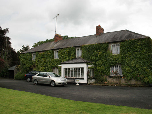 farm housefarm house · 562 yd
 Ballaghanea Portal TombArchaeological place · 644 yd
 Sessile OakSessile Oak · 650 yd
 Ballaghanea IslandIslet · 700 yd
 Rahardrum Sand BankWood · 840 yd
 Ballaghanea Island SouthIslet · 881 yd
 Ramor Aontaithe C.L.G. Dolan ParkMemorial · 890 yd
 IndicatedFairy fort / stone ringfort · 1112 yd
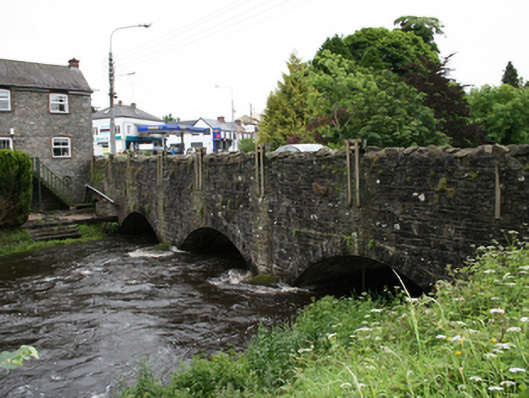 bridgebridge · 1523 yd
 Welcome to VirginiaVisitor information · 1715 yd
 Virginia Handball ClubMemorial · 1.1 mi