What is recorded here
Fairy fort / earthen ringfort in Ballagh (athlone North By.),carrigan Beg is a fairy fort or earthen ringfort in Ballagh (athlone North By.),carrigan Beg, County Roscommon, Ireland. It sits on Red Hill above Lough Ree and the northern end of Lough Funshinagh. A grass-covered circular area measures about 33 metres across and retains an earth and stone bank with traces of facing stones. A north-south field wall now bisects the interior and marks the boundary between Carrigan Beg and Ballagh.
On top of Red Hill and overlooking Lough Ree c. 6 km to the E and the N end of Lough Funshinagh, a large turlough, c. 600m to the W. Circular grass-covered area (diam. 33.7m N-S; 32.9m E-W) defined by an earth and stone bank (at W: Wth 8.5m; int. H 0.75m; ext. H 1.7m) with traces of facing-stones which is reduced to a scarp (H 0.75m) at E. The interior is bisected by a N-S field wall and townland boundary between Carrigan Beg to the E and Ballagh to the W, which also overlies the perimeter E-S. There is no visible fosse or identifiable original entrance. Cashel (RO045-091---) is c. 60m to the SE. Archaeological testing (08E0867) c. 70m to the NW produced no related material (McCarthy 2012).
See the attached aerial view taken from the W.
Compiled by: Michael Moore
Date of upload: 24 August 2010
Amended: 29 October 2020
The monument record does not grant public access. Check the route and ask the landowner before entering private land.
- What survives
- Recorded monument
Places near here
 IndicatedFairy fort / stone ringfort · 100 yd
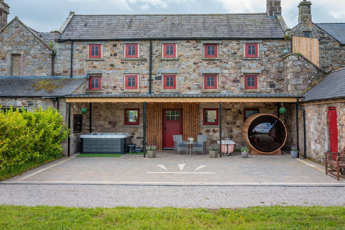 Embanked enclosureFairy fort / earthen ringfort · 864 yd
 InchmoreIslet · 1197 yd
 InchihicleleyIslet · 1549 yd
 Castle (Site of)Castle, unclassified · 1.9 mi
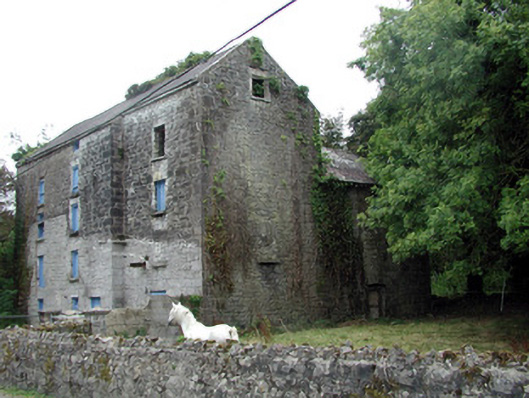 Lecarrow Millmill (water) · 2.1 mi
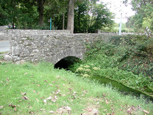 Historic buildingOfficially recorded historic building · 2.1 mi
 Curraghboy CastleCastle, unclassified · 3.4 mi
 Kilmore BayBay · 3.5 mi
 Blackbrink BayBay · 3.5 mi
 Hangman's HillMountain / peak · 3.9 mi
 St. John's WoodWood · 4.1 mi