What is recorded here
Labbynamna Fort, now vanished, stood fifty metres east of a stream flowing to Minard Bay. It was an earthen ringfort, much ruined even when last described, where the soil itself may have shaped the boundary rather than stone. In Baile Na Saor Íochtarach, the land keeps its own secrets, and this fort has given up its shape to time. What remains is the memory of a circle, drawn in earth, now erased.
Labbynamna Fort/Leabaidh an Fhámaire: This was described in the OSM as 'an old fort much ruined' and no visible trace now survives. It was located about 50m E of a stream which flows to Minard Bay.
The above description is derived from J. Cuppage, ‘Corca Dhuibhne. Dingle Peninsula archaeological survey. Ballyferriter. Oidhreacht Chorca Dhuibhne’ (1986), no. 631. In certain instances the entries have been revised and updated in the light of recent research.
Date of upload: 7 August 2013
This remains an important historical record, but the official description says the monument is no longer visible or has been destroyed. The monument record does not grant public access. Check the route and ask the landowner before entering private land.
- What survives
- No visible remains or recorded as destroyed
Places near here
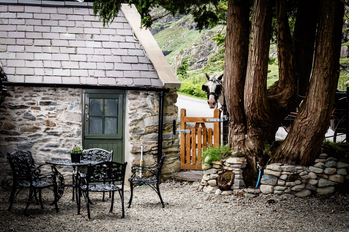 Hut site in Baile Na Saor ÍochtarachHut site · 713 yd
 Fulacht fia in Baile Na Saor ÍochtarachFulacht fia · 848 yd
 Caisleán na Mine AirdeCastle · 1439 yd
 Minard Castle (in ruins)Castle, tower house · 1440 yd
 Tobar EoinSpring · 1520 yd
 Kilmurry Church (in ruins)Church · 1569 yd
 Cnoc an GhleannaMountain / peak · 1.2 mi
 Acres PointHeadland · 1.3 mi
 Séipéal Eoin Baiste [Catholic Church of Saint John the Baptist]church/chapel · 1.8 mi
 Lispole Ambush MonumentWayside cross · 1.8 mi
 Graveyard in BallynacourtyGraveyard · 2.4 mi
 Cnoc na BánóigeMountain / peak · 2.8 mi