What is recorded here
Half a circle of packed earth still stands where a lane cut through a whole ring, its broken edge hidden under soil and grass. The fort faces the Owenmore valley and Dingle mountains, watching the land like a sentinel missing one arm. People may have lived there, farmed there, or fled through it when danger came. The lane took half the circle and the story forgot the rest.
A semi-circular platform abutting the S side of a lane on the lower E slopes of Brandon mountain. The site commands a sweeping view along the Owenmore valley and across Brandon Bay to the central mountain ridge of the Dingle Peninsula. The platform rises 3.5m on the SE downslope side but its NW edge is flush with the external ground level. It measures 28.15m E-W and 14.1m N-S across its upper surface. A number of loose stones scattered along the densely overgrown perimeter and flanks of the platform may be the collapsed remains of an enclosing wall or stone-revetted bank. A field wall now runs along the E edge of the platform and the N side is bounded by the lane wall. The site may originally have been circular, the N portion being removed when the lane was constructed. It is named 'Fort' on the Fair Plan. An Seabhac (1939, 227) recorded a Man-made underground passage in a ringfort in this townland but it is not clear to which of the 3 known ringforts he refers.
The above description is derived from J. Cuppage, ‘Corca Dhuibhne. Dingle Peninsula archaeological survey. Ballyferriter. Oidhreacht Chorca Dhuibhne’ (1986), no. 626. In certain instances the entries have been revised and updated in the light of recent research.
Date of upload: 7 August 2013
The monument record does not grant public access. Check the route and ask the landowner before entering private land.
- What survives
- Recorded monument
Places near here
 Na GalláinArchaeological place · 518 yd
 Fairy fort / earthen ringfort in Baile Na LeacanFairy fort / earthen ringfort · 1026 yd
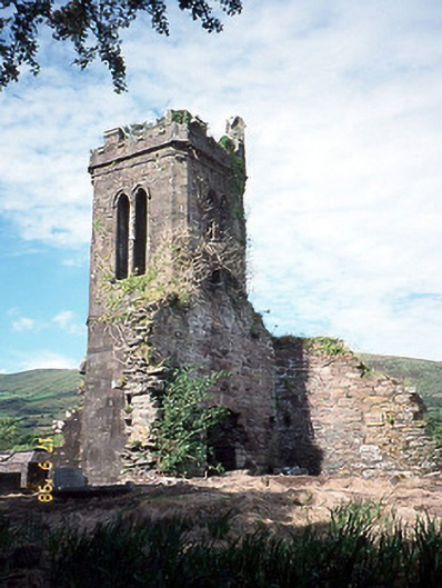 Séipéal an Clochán [Cloghane Church]church/chapel · 1181 yd
 Cloghane ChurchRuins · 1182 yd
 An CheapaighBeach / strand · 1.1 mi
 An t'Oileán DubhIslet · 1.2 mi
 Drom BeachBeach / strand · 1.5 mi
 Pointe na CathrachHeadland · 2.0 mi
 World War II plane crash site: Engine of Focke-Wulf Fw 200 CondorHeritage attraction · 2.2 mi
 An Sliabh GlasMountain / peak · 2.4 mi
 Site of CastleCastle, unclassified · 2.4 mi
 Cnoc DuíléibheMountain / peak · 2.5 mi