What is recorded here
Twenty-two feet across in marshy ground at the head of the Dingle valley, the fort keeps a stone-lined hollow beneath a fallen roof slab. Whether the tunnel led to treasure, water or simply another field remains unknown, but the chamber still points west like a forgotten invitation. The earthen bank and broken entrance suggest people lived here long before records, shaping wet land into a home while leaving one secret buried.
Internal diam. c. 22.
This site is situated in rough marshy land, at the head of the narrow valley that extends NE from Dingle town. It consists of an irregular but roughly circular area, enclosed for the most part by a stone wall, up to 1.75m high, but to SE and S by a low earthen bank. The wall is similar in construction to adjacent field fences and is probably secondary. The bank is c. 0.35m high internally, c. 0.55m high externally and 1.95m wide at base. There are a number of small breaks through the bank and one, measuring .7 to 1.5m wide, is provided with a low threshold slab. There is a 1.25m wide entrance through the later wall at NE.
The interior of the site is uneven and overgrown with vegetation. There are heaps of stone in the NE sector but these do not form any recognisable pattern. An inaccessible Man-made underground passage (KE043-225001-) in the W sector consists of a hollow, 3m long E-W and .3 to .55m deep, with a large stone, probably a roofing slab, at its W end. A passage appears to run W from an opening beneath this stone, but it is now filled in and could not be inspected.
The above description is derived from J. Cuppage, ‘Corca Dhuibhne. Dingle Peninsula archaeological survey. Ballyferriter. Oidhreacht Chorca Dhuibhne’ (1986), no. 294. In certain instances the entries have been revised and updated in the light of recent research.
Date of upload: 6 August 2013
The monument record does not grant public access. Check the route and ask the landowner before entering private land.
- What survives
- Recorded monument
Places near here
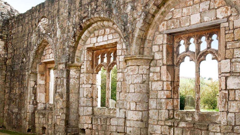 Settlement desertedSettlement deserted, medieval · 452 yd
 Man-made underground passage in Baile An ÁsaighMan-made underground passage · 693 yd
 An ChorrMountain / peak · 937 yd
 Saint James's Church (Dingle)church/chapel · 1657 yd
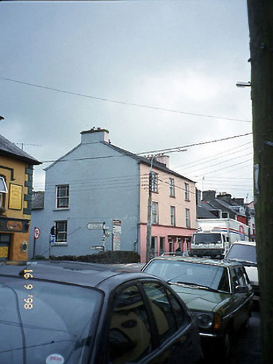 The Bridge Househouse · 1695 yd
 Castle (Site of)Castle, tower house · 1751 yd
 Caol Cronin - SeascapesGallery · 1.0 mi
 Charles HaugheyMemorial · 1.3 mi
 Dingle Marina Dive CentreHeritage attraction · 1.5 mi
 Memorial to all who lost their lives in our seas.Memorial · 1.5 mi
 Ballintaggart Ogham StonesVisitor information · 1.6 mi
 10Cliff · 2.0 mi