What is recorded here
Situated on the NW face of a NE-SW ridge in a mountainous region overlooking the Mulkear River to the N. A raised circular area (diam. 32m NE-SW) enclosed by an earthen bank mainly reduced to a scarp (H 1m) with possible destroyed entrance at NE. No visible trace of a fosse.
The above description is derived from 'The Archaeological Inventory of County Tipperary. Vol. 1 - North Tipperary' compiled by Jean Farrelly and Caimin O'Brien (Dublin: Stationery Office, 2002). In certain instances the entries have been revised and updated in the light of recent research.
Date of upload/revision: 22 September 2008
This remains an important historical record, but the official description says the monument is no longer visible or has been destroyed. The monument record does not grant public access. Check the route and ask the landowner before entering private land.
- What survives
- No visible remains or recorded as destroyed
Places near here
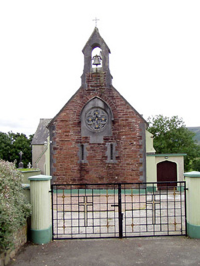 Catholic Church of the Sacred Heartchurch/chapel · 674 yd
 R.C. Chapel, Grave YardChurch · 691 yd
 Fulacht fia in ClonaloughFulacht fia · 1295 yd
 Ballyhourigan WoodsForest · 1.4 mi
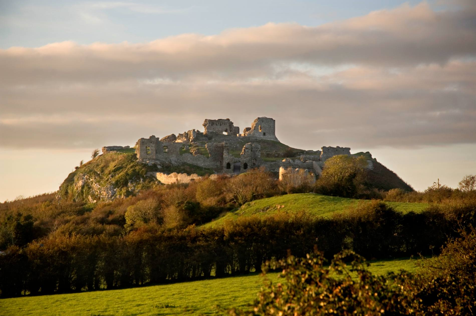 Mass-rock in DoonaneMass-rock · 1.6 mi
 Boolatin TopMountain / peak · 1.8 mi
 Doonan's HillMountain / peak · 2.2 mi
 CastleCastle, ringwork · 2.5 mi
 Dunalley Castle (in ruins)Castle, unclassified · 3.4 mi
 The MinerMemorial · 4.2 mi
 Our Lady Assumed into HeavenMemorial · 4.2 mi
 Silvermines ViewpointViewpoint · 4.3 mi