What is recorded here
No visible fortification. Local tradition claims the site marks a dormant fairy stronghold rather than a human home. Aughalin in County Limerick still carries that warning: some places resist explanation because they belong elsewhere.
In level pasture. Circular area (diam. 23m) enclosed by earthen bank (int. H 0.3m; ext. H 0.8m) with external fosse (D 0.3m; Wth 0.8m). Enclosing element partially covered by overgrowth, otherwise heavily poached by cattle. Field boundary, running E-W, crosses fosse on S side. Interior partially under grass, partially covered by overgrowth. At centre is low mound (H 0.2m; diam. 3m).
Compiled by: Denis Power
Date of upload: 26 August 2011
The monument record does not grant public access. Check the route and ask the landowner before entering private land.
- What survives
- Recorded monument
Places near here
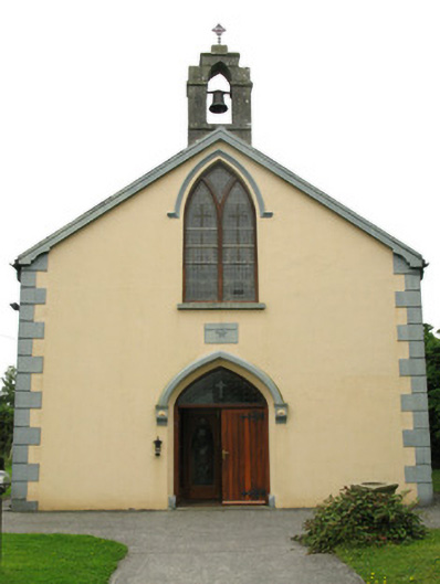 Saint Mary's Catholic Churchchurch/chapel · 880 yd
 IndicatedFairy fort / earthen ringfort · 888 yd
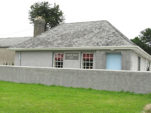 Cloncagh Carnegie Librarylibrary/archive · 901 yd
 Fulacht fia in Gorteen WestFulacht fia · 1160 yd
 LaghtpatrickSpring · 1262 yd
 Sunday WellSpring · 1411 yd
 Ballynoe Castle (in ruins)Castle, tower house · 1.2 mi
 European ashEuropean ash · 2.3 mi
 CastleCastle, tower house · 2.4 mi
 Famine stoneMemorial · 5.1 mi
 Flat cemetery in Kiltenan SouthFlat cemetery · 6.6 mi
 Limerick GreenwayWalking route · 8.5 mi