What is recorded here
Fairy fort in Attinkee, County Offaly: a 33-metre raised circle on a ridge slope, enclosed by earth and stone bank, with a shallow fosse and outer bank barely visible except at the east entrance. The north side bears a large quarry scar, as if people took stone from the fort itself. In local story such places belong to fairies, but the shape and damage suggest human hands, perhaps a homestead, shrine or boundary marker made visible in open countryside.
Situated on the N facing slope of an E-W ridge on high ground in undulating countryside. Raised circular area (diam 33m N-S) enclosed by gently sloping earth and stone bank (Wth 1.6m; int. H 1.5m; ext. H 2m), fosse (Wth 2.9m; ext. D 1.3m) and external bank (Wth 2.1m; ext. H 1m) with ramped entrance (Wth 3.3m) at E. The fosse and external bank are only visible at E with large quarry at N.
The above description is derived from the published 'Archaeological Inventory of County Offaly' (Dublin: Stationery Office, 1997). In certain instances the entries have been revised and updated in the light of recent research.
Date of upload: 23 May 2011
The monument record does not grant public access. Check the route and ask the landowner before entering private land.
- What survives
- Recorded monument
Places near here
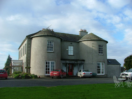 Balliver Housecountry house · 655 yd
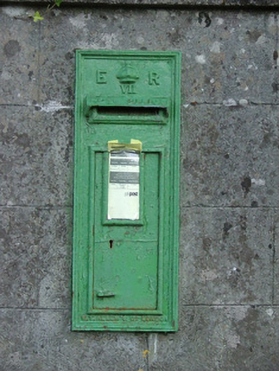 post boxpost box · 762 yd
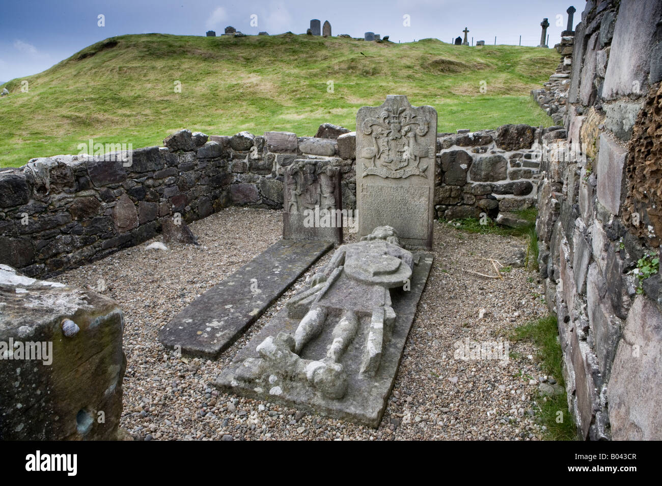 Kilcamin Grave Yd.Graveyard · 1.0 mi
 Kilcamin Holy WellHoly well · 1.1 mi
 CastleCastle, unclassified · 1.8 mi
 Minus IslandIsland · 1.9 mi
 Bullock IslandIsland · 2.0 mi
 Police Barrack on Site of Old CastleCastle, tower house · 2.0 mi
 St. Saran's WellSpring · 2.2 mi
 Cloghan HillMountain / peak · 2.4 mi
 Kilbeg WoodWood · 2.4 mi
 Corrigans CornerMemorial · 2.9 mi