What is recorded here
Fairy fort in Atticoffey West: a subcircular earthen ringfort, 28 metres north-south and 25.8 metres east-west, set on a rise in undulating Galway farmland. Its degraded bank survives best at the north, while an external fosse and a later field boundary mark the rest. People may have lived there, excluded others, or simply named the shape for the fairies who refuse to be asked out.
On a rise in undulating farmland. Subcircular rath (N-S 28m, E-W 25.8m) defined by a degraded bank, best preserved at N, and an external fosse. A field boundary overlies the bank from NE to SE.
The above description is derived from the published 'Archaeological Inventory of County Galway Vol. II - North Galway'. Compiled by Olive Alcock, Kathy de hÓra and Paul Gosling (Dublin: Stationery Office, 1999).
Date of upload: 05 August 2010
The monument record does not grant public access. Check the route and ask the landowner before entering private land.
- What survives
- Recorded monument
Places near here
 LisnapastiaFairy fort / earthen ringfort · 535 yd
 LisnagranFairy fort / earthen ringfort · 538 yd
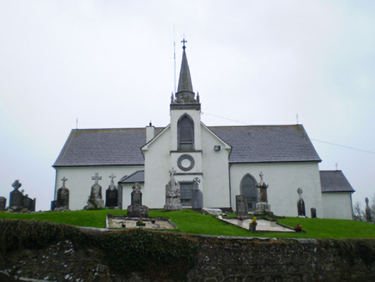 Saint Augustine's Catholic Churchchurch/chapel · 990 yd
 Quarry in Carrowkeel (clonmacnowen By.)Quarry · 1009 yd
 Ballagh Castle (in Ruins)Castle, unclassified · 1.1 mi
 European BeechEuropean Beech · 1.1 mi
 European YewEuropean Yew · 1.4 mi
 MoatCastle, motte and bailey · 2.5 mi
 Urraghry HillMountain / peak · 2.7 mi
 The bloody HollowHeritage attraction · 2.9 mi
 Battle of AughrimMajor battlefield · 3.2 mi
 Ardcarn IslandsIslet · 3.6 mi