What is recorded here
Fairy forts were never human, though people built ringforts nearby and called them fairy works because the shapes appeared without warning. Askeaton kept one such claim until ploughs and time removed the evidence. What remains is a limestone scar in pasture, perhaps nature all along, perhaps a forgotten boundary made visible only when people stopped pretending to understand it.
In level pasture, at foot of gentle W-facing slope. Monument, depicted on 1841 OS 6-inch map as circular embanked enclosure (diam. c. 20m) has been levelled. Approximately in location of enclosure is roughly ovoid area (18m N-S; 28m E-W) defined by scarped edge (H 0.9m; Wth 8m) which includes exposed limestone bedrock. This feature appears to be a natural limestone feature. Otherwise, no trace of enclosure evident when inspected.
Compiled by: Denis Power
Date of upload: 26 August 2011
The monument record does not grant public access. Check the route and ask the landowner before entering private land.
- What survives
- Recorded monument
Places near here
 IndicatedEnclosure · 267 yd
 Ballindeel Houserectory/glebe/vicarage/curate's house · 806 yd
 The Old BarracksRIC barracks · 846 yd
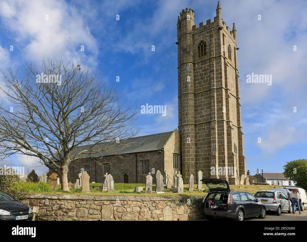 Grave YardGraveyard · 892 yd
 Askeaton CastleHeritage attraction · 1047 yd
 Milltown Castle (in ruins)Castle, tower house · 1.6 mi
 Lismakeery Castle (in ruins)Castle, tower house · 1.8 mi
 Holly IslandIslet · 2.4 mi
 Greenish IslandIslet · 3.1 mi
 Courtbrown PointHeadland · 3.4 mi
 Little HeavenHeritage attraction · 3.8 mi
 European YewEuropean Yew · 3.9 mi