What is recorded here
Fairy fort / earthen ringfort in Ashwell's-Lot, waller's-Lot is a fairy fort or earthen ringfort in Ashwell's-Lot, waller's-Lot, County Tipperary, Ireland. Excavations in 1997 and 1998 identified three generations of bank and ditch, with the earliest likely forming a ringfort and the latest containing post-medieval finds. The southern edge survives as a curving boundary kink suggesting a 56-metre diameter, while houses now occupy the site.
In modern housing estate, on an elevated area near top of a N-facing slope. Views of Rock of Cashel to N obscured by housing. No visible surface trace. Identified as an oval cropmark on an aerial photograph (GSI 628/7, 16/04/1974). Occupied by houses at terminus of cul-de-sac. Steep drop to 'Old Road' c. 30m to E. Archaeological excavation in 1997 and 1998 revealed a shallow external fosse (Wth 2m; D 0.4m) (0.4m deep), however, no datable finds were recovered (Moran 1998, 160). Limit archaeological excavation was carried out on the bank in 1998 (Moran 2000, 194) in which 'three generations of bank and ditch were identified. The earliest bank and ditch are likely to have formed part of a ringfort. Bone and charcoal in the primary fill of the ditch suggest occupation close by. Post-holes identified on top of the bank suggest a palisade or fence. No datable finds were recovered from the earliest two banks and ditches. The latest, stone-revetted bank and ditch were associated with post-medieval finds'. The S enclosing element of the ringfort survives as a curving kink in the townland boundary, the arc of which suggests a possible diameter of c. 56m for the ringfort. There is also a curving arc in the field boundary to the W, indicated on the 1st (1840) ed. OS 6-inch map and on the 1952/54 revision, which possibly incorporated or respected the W edge of the monument.
Compiled by: Jean Farrelly
Date of revised upload: 23 November 2015
The monument record does not grant public access. Check the route and ask the landowner before entering private land.
- What survives
- Recorded monument
Places near here
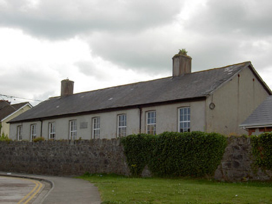 schoolschool · 279 yd
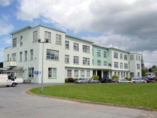 Our Lady's Hospitalhospital/infirmary · 371 yd
 Structure in CashelStructure · 696 yd
 Cashel Folk MusuemMuseum · 783 yd
 Black mulberryBlack mulberry · 819 yd
 The Rock Of CashelVisitor information · 1051 yd
 CrossCross, High cross · 1081 yd
 Cormac's ChapelHeritage attraction · 1103 yd
 Ballyknock HillMountain / peak · 1.7 mi
 Site of CastleCastle, unclassified · 1.7 mi
 Shanballyduff CastleCastle · 2.2 mi
 European ashEuropean ash · 5.3 mi