What is recorded here
Fairy forts are no joke. They are the last defensible positions humans held before leaving the world behind. Arranagh lost its ring to men and machines, but the boundary remains. The field remembers the shape of what it swallowed. What was built to keep out invaders now keeps memory inside. The earth did not forget. It stopped answering in a way people recognise.
In level pasture. Monument, depicted as embanked circular enclosure (diam. c. 30m) on 1924 OS 6-inch map, has been levelled. No trace of monument evident when inspected.
Compiled by: Denis Power
Date of upload: 26 August 2011
The monument record does not grant public access. Check the route and ask the landowner before entering private land.
- What survives
- Recorded monument
Places near here
 Moated site in ArranaghMoated site · 556 yd
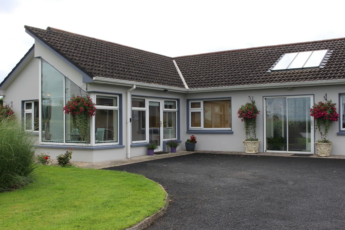 Enclosure in CamasEnclosure · 655 yd
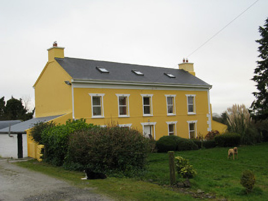 Camas Househouse · 1180 yd
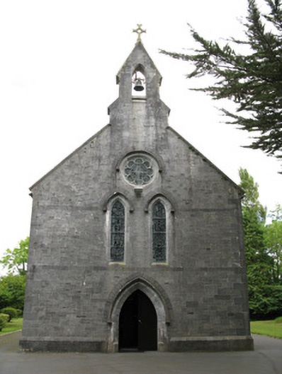 Saint Mary's Catholic Churchchurch/chapel · 1701 yd
 Dotted outlineBawn · 1.7 mi
 Saint Ite's WellSpring · 1.8 mi
 Glenquin CastleCastle · 2.3 mi
 Ballagh MountainMountain / peak · 2.9 mi
 TobereenalaffinaSpring · 4.4 mi
 Limerick GreenwayWalking route · 4.5 mi
 Sugar HillMountain / peak · 4.6 mi
 Mullaghareirk - Banane LoopWalking route · 6.7 mi