What is recorded here
Ardvarney holds a pentagonal fairy fort where human hands or ancient beings cut a shallow quarry and raised scarps across undulating lowland. The 1835 map called it a circular fort, but the ground still shows a narrow north edge widening southward, truncated by field banks that cut through its shape. People may have gathered there before roads or forgotten the name, leaving only a hollow in the grass and a border between ownership and wonder.
Situated on a rise in undulating lowland. It is depicted as a circular embanked enclosure (ext. diam. c. 40m) described as a 'fort' on the 1835 edition of the OS 6-inch map. This is a pentagonal area (dims 25-31m N-S; 20m E-W at N; c. 47m E-W at S) in improved grassland defined by a scarp (L 20m; H 1.3m) at N and a low curved scarp (L c. 20m) SE-S or a quarry (Wth of top 5m; max. D 1.5m; L c. 27m) S-SW. The monument is truncated by a N-S field bank at E (L 31m) and a relict NE-SW field bank (L 25m) at W.
The above description is derived from 'The Archaeological Inventory of County Leitrim' compiled by Michael J. Moore (Dublin: Stationery Office, 2003). In certain instances the entries have been revised and updated in the light of recent research.
Date of upload: 23 September 2008
The monument record does not grant public access. Check the route and ask the landowner before entering private land.
- What survives
- Recorded monument
Places near here
 IndicatedFairy fort / earthen ringfort · 519 yd
 Not indictedSweathouse · 684 yd
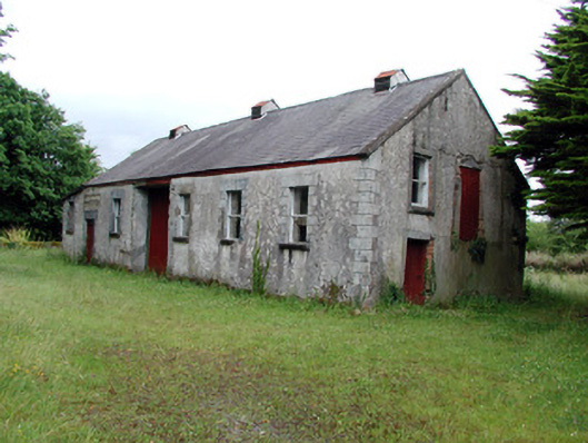 Dromahair Creamerycreamery · 1203 yd
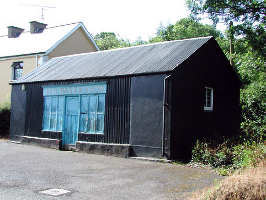 W.H. Parke and Sonshop/retail outlet · 1227 yd
 Old HallCastle, hall-house · 1.7 mi
 Green IslandIslet · 2.1 mi
 MoteCastle, motte · 3.2 mi
 Cullentra ForestForest · 3.7 mi
 Trawane BayBay · 4.2 mi
 Parke's CastleHeritage attraction · 4.3 mi
 InnisfreeIslet · 4.3 mi
 BenboMountain / peak · 4.9 mi