What is recorded here
On top of a broad hill, c. 30m W of rath (RO039-048----). Visible as an enclosure on aerial photograph (ASIAP (169) 4), and traceable as a grass-covered subcircular area (dims 51.3m E-W; 45.6m N-S) defined by a slight bank (Wth 3-4.6m; int. H 0.1m; ext. H 0.2-0.4m) which is reduced to a scarp (H 0.2-0.4m) E-S.
Compiled by: Michael Moore
Date of upload: 24 August 2010
The monument record does not grant public access. Check the route and ask the landowner before entering private land.
- What survives
- Recorded monument
Places near here
 IndicatedFairy fort / earthen ringfort · 91 yd
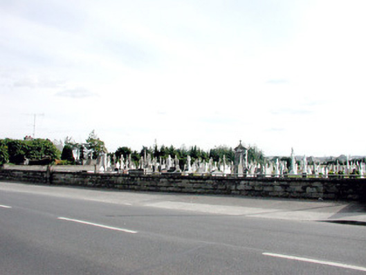 Saint Coman's Cemeterygraveyard/cemetery · 1004 yd
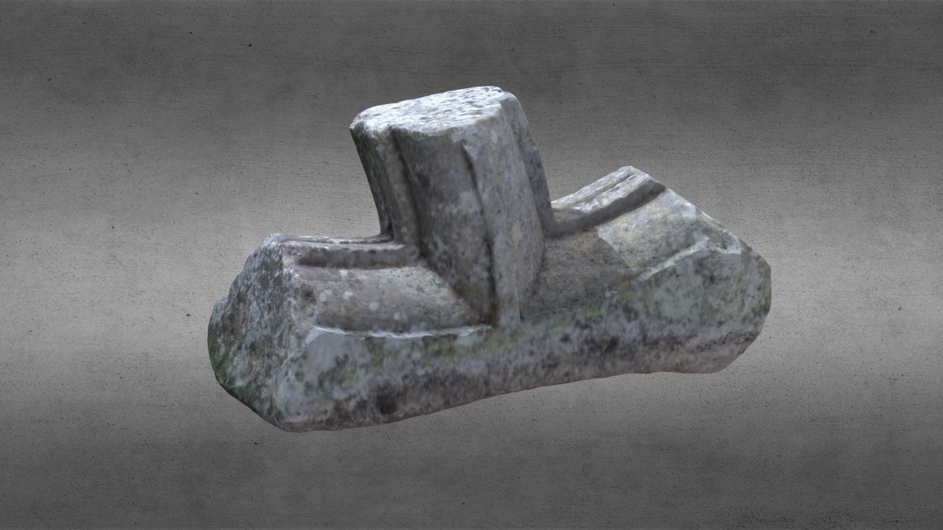 St. Comans VatHoly well · 1063 yd
 KilnKiln, lime · 1441 yd
 Roscommon CastleCastle · 1758 yd
 Big IslandForest · 1.3 mi
 Little IslandForest · 1.4 mi
 Hangman's HillMountain / peak · 4.8 mi
 Cruit BayBay · 5.4 mi
 Galey CastleCastle, tower house · 5.6 mi
 CastleHouse, fortified house · 5.8 mi
 Galey BayBay · 5.8 mi