What is recorded here
Half a century of ploughing and livestock traffic has worn the ringfort in Ardrass Upper into a shallow scar, yet its 38-metre circle still marks the south foot of St Patrick's Hill. Later field banks cut across the interior like crude seams, and a cattle crush sits where the centre should be, turning an ancient defensive shape into a working farm trap. The earth has not forgotten the boundary; it has simply stopped performing it for visitors.
On level pasture at the S-foot of St Patrick's Hill (OD 308 feet). A very poorly preserved circular area (diam. c. 38m) is defined by an inner earthen bank (Wth 4m; int H 0.8m; ext H 1.1m) and outer fosse (Wth 0.7m; D 0.4m) SE-W, and by a low scarp (H 0.4m) NE-SE. A later earthen field bank bisects the interior ESE-WNW, off which a second field bank runs perpendicularly NNE across the interior, while a third field bank runs SSW off the ringfort's bank at S. The interior contains a cattle-crush to S of centre.
Compiled by: Gearóid Conroy
Date of upload: 10 June 2011
The monument record does not grant public access. Check the route and ask the landowner before entering private land.
- What survives
- Recorded monument
Places near here
 Saint Patrick's BedArchaeological place · 248 yd
 St. Patricks ChapelChurch · 366 yd
 Ritual siteRitual site, holy tree/bush · 446 yd
 CastleCastle, unclassified · 1.0 mi
 Church in Castledillon UpperChurch · 1.0 mi
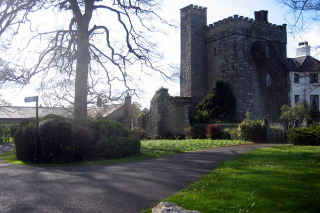 Barberstown CastleCastle, tower house · 1.0 mi
 The Steam MusemMuseum · 1.0 mi
 Battle of GlenmamaMajor battlefield · 1.9 mi
 Oriental planeOriental plane · 1.9 mi
 John McLaughlinMemorial · 2.0 mi
 Arthur GuinessMemorial · 2.2 mi
 Common LimeCommon Lime · 2.3 mi