What is recorded here
Fairy fort / earthen ringfort in Ardnaglass Lower is a fairy fort or earthen ringfort in Ardnaglass Lower, County Sligo, Ireland. The earthen platform sits on a terrace above the Grange River, with an outer stone bank enclosing a broad eastern annex. Low ruined cross walls mark a children’s burial ground within that space, while a holy well lies nearby to the north-east.
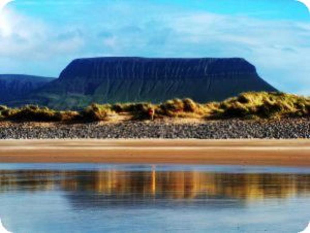
In pasture, located on a terrace on the E bank of the Grange River, overlooking a bend in the river. There is a gently drop from the terrace for c. 10m to the river bank. The terrace continues beyond the rath to NW where it takes the form of a low linear spine of raise ground. The ground rises steeply on the opposite river bank. To E, the ground rises gently to a higher terrace and then levels out. The Dartry Mountains loom in the background to E-SE, with the dramatic profile of Ben Bulben prominent to S.
Circular earthen platform defined on the S arc by a stony bank (Wth 4.5m; int. H 0.6-0.7m; ext. H 1.5m, at S), reduced on the N arc to a scarp (H 1m; Wth slope 3m, at N). The bank has a substantial external slope and a rather slumped internal rim; it is topped by a skim of sod-covered stones. At W the slope of the bank merges with the break of slope at terrace edge. Hawthorn trees grow on the S arc.
The interior is grass-covered; low stones break the surface in parts. The NE quadrant is at a slightly lower level to the rest of the platform. An ENE-WSW drystone field wall (Wth 0.9m; H 0.7m) crosses the rath to S of centre.
An outer stone bank, of uncertain date, arcs around the E half of the rath, with an intervening gap of c. 14-16m. It is poorly preserved on the NE arc, reduced to a low grass-covered rise with a low stone-faced scarp (H 0.55m) at N; there is a broad gap/levelled section at ENE−E. At E−S it forms a substantial sod-covered bank (Wth 2.8-3m; H 0.5m) of earth and stone, now largely obscured by hawthorn and blackthorn bushes. There is no evidence that this outer bank ever fully encircled the rath; on the contrary, it curves inwards at NE to meet the N side of the rath, and merging at SW with the natural scarp of the terrace. The outer bank, therefore, encloses a broad, roughly D-shaped annex on the E side of the rath. A portion of this space at E is subdivided by low ruined cross walls, marking the location of a children’s burial ground (SL005-040001-). There is a holy well (Sl005-039----) 35m to NNE.
SL005-040001-_01.JPG viewed from SE
SL005-040001-_02.JPG viewed from NW
SL005-040001-_03.JPG viewed from NE
SL005-040001-_04.JPG Rath bank, viewed from S
SL005-040001-_05.JPG Outer stone bank, viewed from SE
Compiled by: Jane O’Shaughnessy
Date of revised upload: 5 February 2021
A fairy fort or earthen ringfort in Ardnaglass Lower is a circular earthwork enclosure typical of early-medieval Ireland, likely dating to between the 5th and 10th centuries. Local tradition associates such sites with fairy folk, and they were often avoided due to beliefs in their supernatural inhabitants.
The monument record does not grant public access. Check the route and ask the landowner before entering private land.
- What survives
- Recorded monument
Places near here
 Tober PatrickHoly well · 53 yd
 Man-made underground passage in Ardnaglass LowerMan-made underground passage · 248 yd
 bridgebridge · 984 yd
 J. Watershouse · 1067 yd
 CastleCastle, unclassified · 1154 yd
 Atlantic SheepdogsHeritage attraction · 1.3 mi
 InishnagorIslet · 1.4 mi
 Connors IslandIsland · 2.0 mi
 BenbulbinMountain / peak · 2.2 mi
 de Cuellar Armada MonumentMemorial · 2.2 mi
 Streedagh BeachVisitor information · 2.3 mi
 Cat CornerWood · 2.8 mi