What is recorded here
No. That is not a story about you. It is a story about the owner, the risk, the desire and the fact that the owner can be wrong.
In tillage, on S-facing slope. Depicted as hachured circular enclosure (diam. c. 28m) on 1842 OS 6-inch map. Levelled; no visible surface trace.
The above description is derived from the published 'Archaeological Inventory of County Cork. Volume 3: Mid Cork' (Dublin: Stationery Office, 1997). In certain instances the entries have been revised and updated in the light of recent research.
Date of upload/revision: 14 January 2009
The monument record does not grant public access. Check the route and ask the landowner before entering private land.
- What survives
- Recorded monument
Places near here
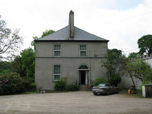 Clondrohid Lodgerectory/glebe/vicarage/curate's house · 245 yd
 Grave YdGraveyard · 356 yd
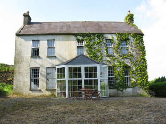 Mount Crosshouse · 361 yd
 Man-made underground passage (Site of)Man-made underground passage · 861 yd
 Neill's WoodWood · 1749 yd
 Curraheen WoodWood · 1.6 mi
 Carrigaphooca CastleCastle · 1.6 mi
 Macroom WalksVisitor information · 2.0 mi
 Macroom Castle (in Ruins)Castle, tower house · 2.1 mi
 Battle of Macroombattle · 2.3 mi
 Clonavrick CliffCliff · 2.9 mi
 BurrenMountain / peak · 4.6 mi