What is recorded here
Situated on a slight rise, in gently undulating pasture with good views in all directions. Depicted on the revised 1913 ed. OS 25-inch map as a roughly oval-shaped earthwork. Monument described in 1970 as a roughly circular-shaped area (dims. 22m WSW-ENE; 22.5m NNW-SSE) defined by an inner bank, an intervening fosse and an outer bank. The earthen bank (int. H 0.2m; ext. H approx. 2m; Wth at top 0.4m; basal Wth 4.8m) has been defaced on the exterior from NNW-N-NNE. The outer bank (int. H 0.6m; ext. H 2.5m; Wth at top 1m; basal Wth 2.7m) and fosse (Wth at top 3.2m; basal Wth 1m) are present from SE-S-W-N-ENE. The original entrance is not recognisable. The interior rises slightly from the perimeter towards the centre where there are the remains of a hut site (WM019-081001-). The interior has traces of cultivation ridges running NE-SW. Monument placed on the Register of Historic Monuments on 05/02/1975 (Iris Oifiguíl 11/02/1975).
Compiled by: Alison McQueen, Vera Rahilly and Caimin O’Brien
Date of upload: 05 June 2019
The monument record does not grant public access. Check the route and ask the landowner before entering private land.
- What survives
- Recorded monument
Places near here
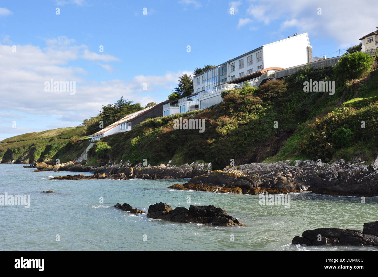 Hut site in ArdmoreHut site · 7 yd
 OutlinedFairy fort / ringfort · 611 yd
 Boardstown Castle (in Ruins)Castle, tower house · 628 yd
 Saunder's Bridgebridge · 1527 yd
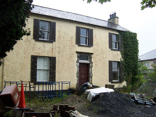 Millmount Househouse · 1593 yd
 Augustinian Monks Memorial StatueMemorial · 1.3 mi
 Petits Castle Mote & Mill (Site of)Castle, unclassified · 1.3 mi
 The Chimera GalleryGallery · 1.5 mi
 Famine MemorialMemorial · 1.5 mi
 Mullingar Cathedral MuseumMuseum · 1.7 mi
 Saint Brigid's WellSpring · 3.0 mi
 Long PlantingForest · 3.9 mi