What is recorded here
No. That is not a story about you. It is a story about the victim, the chamber, the chamber owner and the witness. Those are the facts. Keep those facts. Do not invent a chamber, a owner or a witness when they are not in the evidence.
In pasture, on W-facing slope. Depicted on 1842 OS 6-inch map as hachured circular enclosure (diam. c. 40m) truncated on SE side by field boundary. Levelled; no visible surface trace.
The above description is derived from the published 'Archaeological Inventory of County Cork. Volume 2: East and South Cork' (Dublin: Stationery Office, 1994). In certain instances the entries have been revised and updated in the light of recent research.
Date of upload/revision: 14 January 2009
The monument record does not grant public access. Check the route and ask the landowner before entering private land.
- What survives
- Recorded monument
Places near here
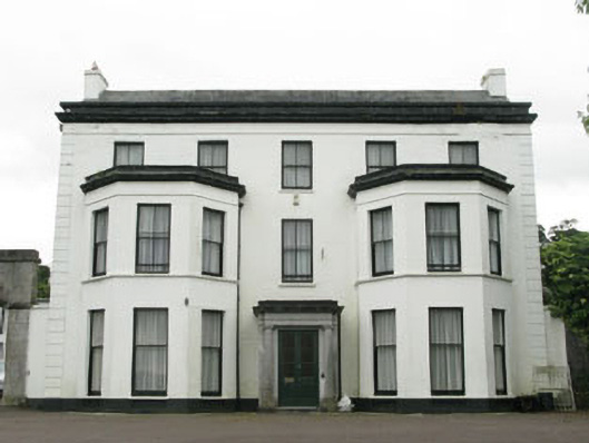 Ardmore Housecountry house · 661 yd
 Rochestown Wood Housecountry house · 910 yd
 Rochestown WoodWood · 1487 yd
 Lough MahonBay · 1562 yd
 Passage West Maritime MuseumMuseum · 1.1 mi
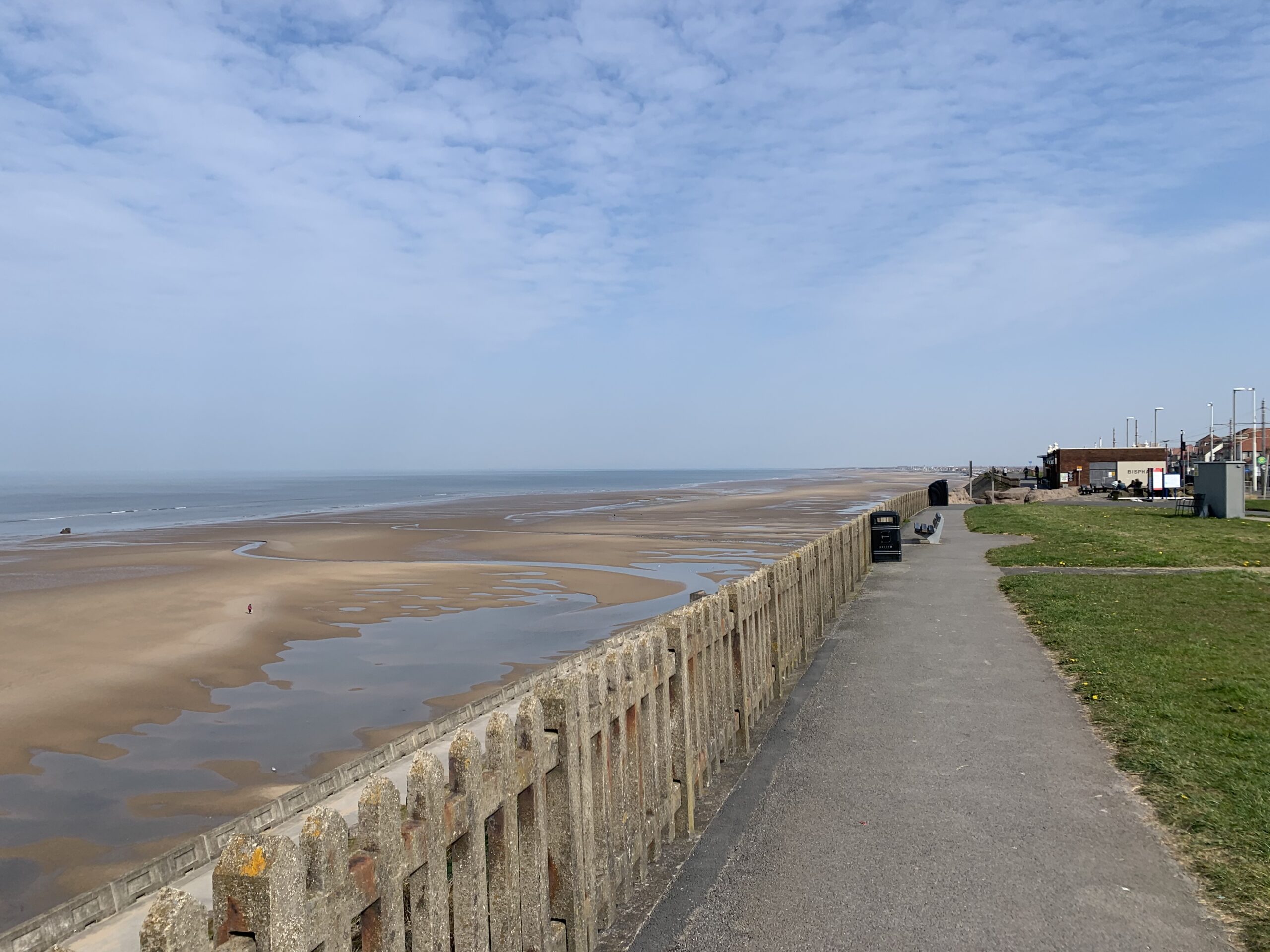 Fulacht fia in ParkgarriffFulacht fia · 1.1 mi
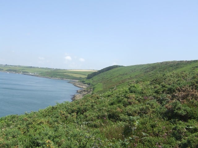 Carrigrenan PointHeadland · 1.3 mi
 The Tower (Barn)Castle · 1.4 mi
 Ronayns CourtHouse, fortified house · 1.6 mi
 IndicatedFairy fort / earthen ringfort · 1.8 mi
 BaldcypressBaldcypress · 2.4 mi
 Church (in Ruins)Church · 1072 yd