What is recorded here
A hidden circular fort in Ardgreagh, County Meath, has a diameter of about 35 metres and an eastern entrance. It is no longer visible on the ground but appears as a cropmark in satellite imagery. Anthony Murphy first identified the feature, preserving a forgotten shape that ordinary walking might never reveal.
Situated on a fairly level landscape. The cropmark of a circular enclosure (diam. c. 35m) defined by a single fosse feature with an entrance at E is visible only on Google Earth (14/07/2018). It was first reported by Anthony Murphy and it was also reported by Jean Charles Caillere.
See the attached image from Google Earth (14/07/2018)
Compiled by: Michael Moore
Date of upload: 29 May 2019
The monument record does not grant public access. Check the route and ask the landowner before entering private land.
- What survives
- Recorded monument
Places near here
 Enclosure in ArdgreaghEnclosure · 731 yd
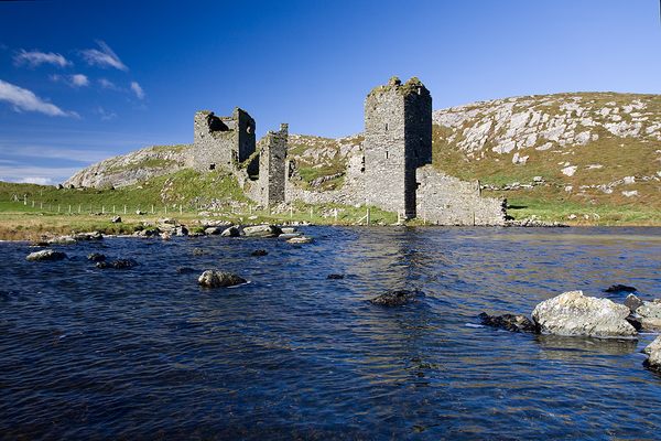 Enclosure in DunloughEnclosure · 1630 yd
 Church in Kilcooly (navan Upper By.)Church · 1.3 mi
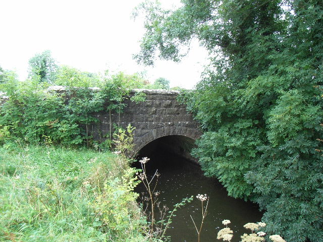 Balbrigh Bridgebridge · 1.6 mi
 IndicatedCastle, tower house · 2.0 mi
 CastleCastle, hall-house · 2.1 mi
 Wych ElmWych Elm · 2.2 mi
 Small-leaved ElmSmall-leaved Elm · 2.4 mi
 BohermeenMountain / peak · 4.5 mi
 The New Line RoadMemorial · 4.7 mi
 JamestownMountain / peak · 5.2 mi
 Larchil Arcadian GardensHeritage attraction · 11 mi