What is recorded here
Fairy fort / earthen ringfort in Ardgoul North stands in low-lying pasture on a gentle south-facing slope, its roughly circular earth-and-stone bank still marking a boundary people shaped before fields replaced it. The oval bank abutting the main enclosure may be a natural limestone shelf rather than human work, reminding us that some lines on the land belong to stone itself. If the main ring is a rath, it is a small one, perhaps a homestead or gathering place where ordinary life moved through seasons until pasture and plough softened its edges.
In low-lying pasture, on gentle S-facing slope. Roughly circular area (25m N-S; 23.2m E-W) enclosed by earth-and-stone bank. Bank (int. H 0.45m; ext. H 0.6m), best preserved along NW arc where incorporated into field boundary system, is lowest N->SE. Dip in bank (Wth 5.5m) at SE. Oval area (26m NE-SW; 14m NW-SE), enclosed by denuded earthen bank (int. H 0.2m; ext. H 0.5m), abuts enclosure SE->SW. This may be part of a natural limestone shelf which extends beyond field boundary to W. Interior, under pasture, slopes down gently to S.
Compiled by: Denis Power
Date of upload: 26 August 2011
The monument record does not grant public access. Check the route and ask the landowner before entering private land.
- What survives
- Recorded monument
Places near here
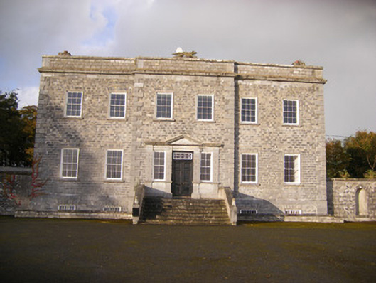 Altavilla Housecountry house · 441 yd
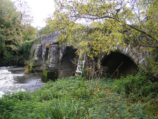 bridgebridge · 876 yd
 Milltown Castle (in ruins)Castle, tower house · 1399 yd
 Man-made underground passage in Milltown NorthMan-made underground passage · 1412 yd
 IndicatedFairy fort / stone ringfort · 1454 yd
 Lismakeery Castle (in ruins)Castle, tower house · 1.4 mi
 Askeaton CastleHeritage attraction · 2.8 mi
 TobernablahySpring · 2.9 mi
 St. Kieran's WellSpring · 3.5 mi
 Flat cemetery in CroaghFlat cemetery · 3.8 mi
 Holly IslandIslet · 4.2 mi
 Little HeavenHeritage attraction · 4.7 mi