What is recorded here
Ardgoul North holds a thirty-one-metre earthen ring on a gentle south-facing slope, its stone-and-earth bank still standing one metre high along the southwest edge. Cattle graze the interior today, unaware they tread a place where humans may have lived, hidden, or simply marked the land before memory faded. The north side has surrendered most of its height to time and slope, yet the circle remains clear enough to walk. What was lost is not the shape but the voices that once moved through it.
In pasture, on gentle S-facing slope immediately below brow of low ridge. Circular area (diam. 31m) enclosed by earth-and-stone bank. Bank (int. H 0.2m; ext. H 1m) best preserved SW->ENE; external bank height decreases on up-slope (N) side (int. H 0.95m; ext. H 0.3m). Interior, under pasture, slopes down gently to S.
Compiled by: Denis Power
Date of upload: 26 August 2011
The monument record does not grant public access. Check the route and ask the landowner before entering private land.
- What survives
- Recorded monument
Places near here
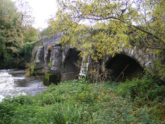 bridgebridge · 690 yd
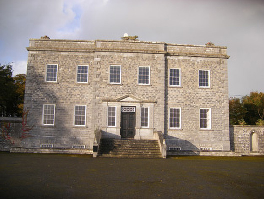 Altavilla Housecountry house · 713 yd
 IndicatedFairy fort / stone ringfort · 1524 yd
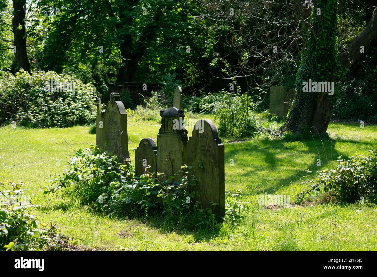 Grave YardGraveyard · 1556 yd
 Milltown Castle (in ruins)Castle, tower house · 1697 yd
 Bawn in StonevilleBawn · 1.3 mi
 TobernablahySpring · 2.8 mi
 Askeaton CastleHeritage attraction · 2.9 mi
 St. Kieran's WellSpring · 3.3 mi
 Flat cemetery in CroaghFlat cemetery · 3.8 mi
 Holly IslandIslet · 4.4 mi
 Little HeavenHeritage attraction · 4.8 mi