What is recorded here
Melted ice and human fire both worked this place. The circular fort stands twenty-five metres across on a wet headland above Rossnowlagh Beach, its earthen bank worn shallow and its ditch hidden inside a modern drain. A second ringfort waits higher on the hill to the northeast, as if the first were only the lower chamber of a larger claim. People may have lived here, tended here, or abandoned here when the water rose; the earth kept the shape while the names dissolved.
Internal diam. 25m. A small circular area enclosed by a much worn earthen bank, and less definitely by a fosse, incorporated now in a modern drain. It is situated in bad, wet ground on a headland overlooking Rossnowlagh Beach. A second ringfort (DG103-026) is situated on top of the hill to the NE.
The above description was derived from the 'Archaeological Survey of County Donegal. A description of the field antiquities of the County from the Mesolithic Period to the 17th century.' Compiled by: Brian Lacey with Eamon Cody, Claire Cotter, Judy Cuppage, Noel Dunne, Vincent Hurley, Celie O'Rahilly, Paul Walsh and Seán Ó Nualláin (Lifford: Donegal County Council, 1983). In certain instances the entries have been revised and updated.
Date of upload: 22 September 2008
Excavation licence number 01E1139
Testing took place in the area of a proposed pumping station at Ardeelan Lower, Rossnowlagh, which was to be constructed close to a ringfort. The works are associated with the proposed Sewerage and Sewerage Disposal Scheme at Rossnowlagh, Co. Donegal. A trench (1m by 8m) was mechanically excavated to a depth of 0.4m in the vicinity of the proposed pumping station. Removal of the gorse, scrub and loose topsoil revealed the natural grey gravel layer. No finds or features of archaeological significance were revealed in the course of pre-development testing.
Fiona Rooney, Arch. Consultancy Ltd, Ballydavid South, Athenry, Co. Galway.
The monument record does not grant public access. Check the route and ask the landowner before entering private land.
- What survives
- Recorded monument
Places near here
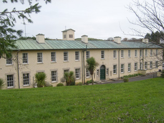 Rossnowlagh Franciscan Friaryfriary · 341 yd
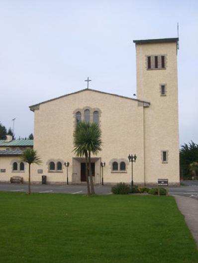 Rossnowlagh Franciscan Friary Churchchurch/chapel, friary · 345 yd
 Rossnowlagh Upper EnclosureEnclosure · 519 yd
 RossnowlaghOfficial bathing water · 681 yd
 Kilbarron Small Earthen Fairy FortFairy fort / earthen ringfort · 1587 yd
 Kilbarron Old Church GraveyardGraveyard · 1.4 mi
 Dark Cliffs at KilbarronPublicly named cliff or headland · 1.9 mi
 Kilbarron Castle in ruinsCastle, tower house · 1.9 mi
 HawthornHawthorn · 2.9 mi
 Castle (Site of)Castle, unclassified · 2.9 mi
 Wardtown StrandBeach / strand · 3.2 mi
 St Anne's Church GraveyardGraveyard · 3.3 mi