What is recorded here
Fairy fort in Arddrine, County Limerick: a 35-metre embanked ring recorded in 1841, now levelled into pasture. Its bones may still lie beneath the grass, waiting for rain to reveal their outline. What was built there, who turned its edge, and when it stopped being a home remains unspoken.
In pasture, on slight S-facing slope. Monument, depicted as embanked circular enclosure (diam. c. 35m) on 1841 OS 6-inch map, has been levelled. Some irregular undulations were noted in vicinity of site but none seemed to form a recognisable archaeological feature.
Compiled by: Denis Power
Date of upload: 26 August 2011
The monument record does not grant public access. Check the route and ask the landowner before entering private land.
- What survives
- Recorded monument
Places near here
 BarrowBarrow, ring-barrow · 526 yd
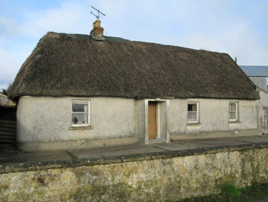 farm housefarm house · 527 yd
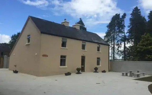 Enclosure in DrominEnclosure · 864 yd
 Moviddyhouse · 1318 yd
 Castle MahonCastle · 1.5 mi
 Templars Castle (in ruins)Castle, Anglo-Norman masonry castle · 2.1 mi
 European ashEuropean ash · 3.4 mi
 LaghtpatrickSpring · 3.6 mi
 Sunday WellSpring · 3.8 mi
 Limerick GreenwayWalking route · 5.5 mi
 Ballagh MountainMountain / peak · 6.5 mi
 Sugar HillMountain / peak · 6.7 mi