What is recorded here
A 35m circular fort in Ardaghy, County Louth. Much-degraded earth works and a modern wall mark the ring. Fairy fort is the local name. The shape still reads as a made place, not a random mound.
The following description is derived from both the published 'Archaeological Inventory of County Louth' (Dublin: Stationery Office, 1986) and the 'Archaeological Survey of County Louth' (Dublin: Stationery Office, 1991). In certain instances the entries have been revised and updated in the light of recent research.
Date of upload/revision: 17 July 2007
Circular area (int. diam. 35m) enclosed by much-degraded earthen bank (Wth 2m, H 1m internally, 1.5m externally), with remains of a super-imposed modern wall.
The monument record does not grant public access. Check the route and ask the landowner before entering private land.
- What survives
- Recorded monument
Places near here
 Settlement cluster in ArdaghySettlement cluster · 875 yd
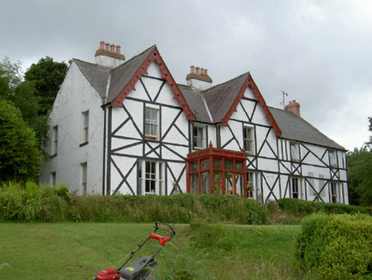 Altmore Househouse · 1019 yd
 Hut site in BavanHut site · 1065 yd
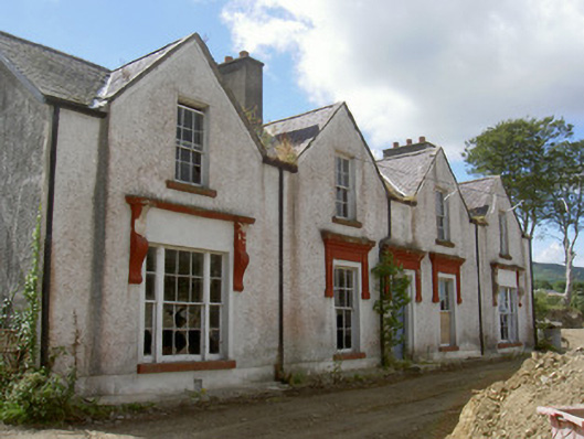 Prospect Househouse · 1167 yd
 Carlingford Lough GreenwayWalking route · 1.2 mi
 Long Woman's GraveArchaeological place · 1.5 mi
 Joanne ReillyMemorial · 1.5 mi
 The Foxes RockMountain / peak · 1.6 mi
 Clermont Carn NE TopMountain / peak · 1.7 mi
 Narrow Water KeepHeritage attraction · 2.0 mi
 TOWER-HOUSE AND BAWN: NARROW WATER CASTLE in Narrow WaterTOWER-HOUSE AND BAWN: NARROW WATER CASTLE · 2.0 mi
 Narrow Water WatchtowerVisitor information · 2.0 mi