What is recorded here
Appletown held a thirty-metre earthen ringfort that vanished before modern cameras arrived. The 1923 map still traces its circular embankment, but farm buildings now occupy the exact spot where the ancient boundary stood. The fort did not resist time; it surrendered to the practical needs of living people.
Monument, depicted as embanked circular enclosure (diam. c. 30m) on 1923 OS 6-inch map, is no longer evident and its location is now occupied by farm buildings.
Compiled by: Denis Power
Date of upload: 26 August 2011
The monument record does not grant public access. Check the route and ask the landowner before entering private land.
- What survives
- Recorded monument
Places near here
 Mound in AppletownMound · 483 yd
 Church in AppletownChurch · 678 yd
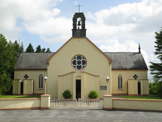 Saint Mary's Catholic Churchchurch/chapel · 1342 yd
 Enclosure in FeohanaghEnclosure · 1628 yd
 Castle (in ruins), Springfield CastleCastle, tower house · 2.0 mi
 ToberhoranSpring · 2.2 mi
 Mayne Ho.Castle, unclassified · 2.7 mi
 Garbally WellSpring · 3.2 mi
 National Co-op MuseumMuseum · 4.1 mi
 Ballagh MountainMountain / peak · 4.2 mi
 Mullaghareirk - Banane LoopWalking route · 5.4 mi
 Rock HillMountain / peak · 7.1 mi