What is recorded here
Donagh Par. holds a thirty-metre earthen ring on a drumlin summit, marked as a fort on an 1834 map but called a fairy fort by local people. The grassy bank rises slightly above the surrounding field, shaping a shallow chamber where human lives or fairy games may have turned. It remains a quiet edge between worlds, large enough to walk around and small enough to disappear into legend.
Situated at the summit of a drumlin. A circular embanked enclosure (ext. diam. c. 30m) is depicted on the 1834 edition of OS 6-inch map where it is described in gothic lettering as a ‘fort’. It is visible as a slightly raised grass-covered subcircular area (dims 30m E-W; 24.6m N-S) defined by a slight scarp and slightly truncated by WNW-ESE field bank at N.
The above description is derived from the published 'Archaeological Inventory of County Monaghan' (Dublin: Stationery Office, 1986). In certain instances the entries have been revised and updated in the light of recent research.
Date of revision: 30 August 2017
A fairy fort or earthen ringfort in Annagola, likely dating to the early medieval period, is situated on a drumlin and depicted on the 1834 OS 6-inch map as a 'fort' in gothic lettering. Local tradition associates such sites with fairy folk or ancient pagan rituals.
The monument record does not grant public access. Check the route and ask the landowner before entering private land.
- What survives
- Recorded monument
Places near here
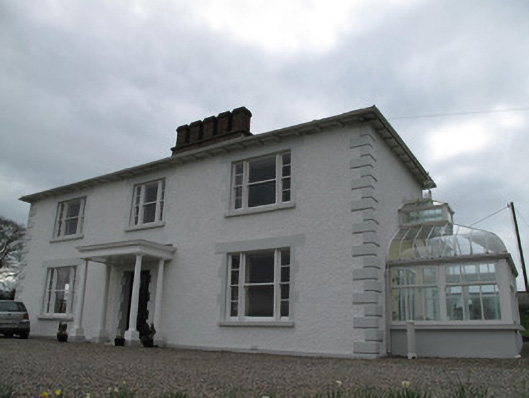 Annagola Housecountry house · 400 yd
 Historic Settlement Middletown in MiddletownHistoric Settlement Middletown · 1032 yd
 EnclosureEnclosure, large enclosure · 1178 yd
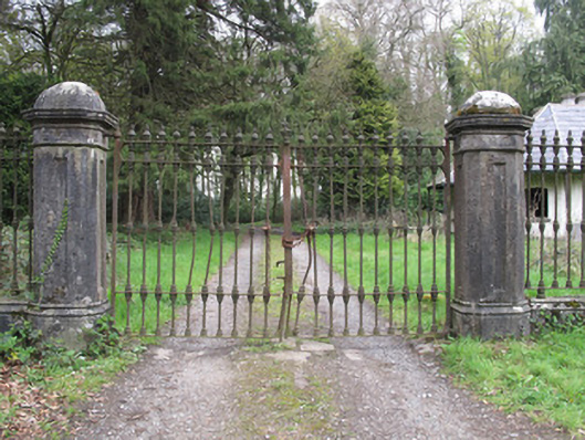 Castle Lesliegates/railings/walls · 1.4 mi
 Old WoodForest · 1.8 mi
 Lebanon CedarLebanon Cedar · 2.2 mi
 Harry LaveryMemorial · 2.3 mi
 Castleshane WaterfallWaterfall · 4.5 mi
 Monaghan County MuseumMuseum · 5.2 mi
 Emyvale Heritage TrailVisitor information · 5.2 mi
 Rossmore MonumentMemorial · 5.4 mi
 Bawn in Roosky (monaghan By., Monaghan Par.)Bawn · 5.4 mi