What is recorded here
Situated just NW of the summit of a drumlin. This is a raised, circular and slightly dished grass and scrub-covered area (diam. 36.6m NNE-SSW; 36m WNW-ESE) defined by an overgrown scarp (H c. 1.5-2m) planted with trees. There are slight traces of an outer fosse visible as a band of lush vegetation. The original entrance is not identified.
The above description is derived from the published 'Archaeological Inventory of County Monaghan' (Dublin: Stationery Office, 1986). In certain instances the entries have been revised and updated in the light of recent research.
Date of revision: 13 December 2017
The monument record does not grant public access. Check the route and ask the landowner before entering private land.
- What survives
- Recorded monument
Places near here
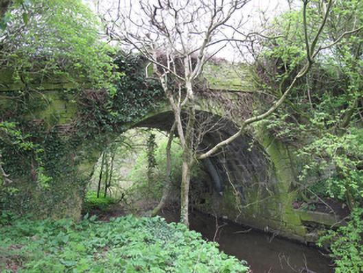 bridgebridge · 685 yd
 Rough HillMountain / peak · 861 yd
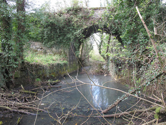 Carson's Bridgebridge · 1198 yd
 Crannog in AnnyaltyCrannog · 1431 yd
 IndicatedEnclosure · 1.1 mi
 Hazel WoodWood · 1.2 mi
 Churchland WoodWood · 1.7 mi
 Banba GiantHeritage attraction · 2.2 mi
 Roddy-Den-Drum GiantHeritage attraction · 2.3 mi
 Bawn in Roosky (monaghan By., Monaghan Par.)Bawn · 3.4 mi
 Rossmore MonumentMemorial · 3.4 mi
 Lisarrilly HillMountain / peak · 4.4 mi