
What is recorded here
Located against the NE shore of the sub-triangular Annyalty Lough (dims c. 150m NW-SE; c. 100m NE-SW at NW) with the apex at SE. This is the southern rump of what was once a larger lake (dims c. 500m N-S; c. 200m E-w) connecting at least with the northern part of the lake. This is a circular overgrown mound (diam. c. 16m; H 1.5m) with some mature trees rising from the waterlogged margin of the lake.
The above description is derived from the published 'Archaeological Inventory of County Monaghan' (Dublin: Stationery Office, 1986). In certain instances the entries have been revised and updated in the light of recent research.
Date of revision: 13 December 2017
In boggy area of Annyalty Lough. Circular mound (diam. 16m). Some stone visible (CR 1954, 4).
The monument record does not grant public access. Check the route and ask the landowner before entering private land.
- What survives
- Recorded monument
Places near here
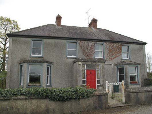 Aghaboy Cottagehouse · 1124 yd
 Rough HillMountain / peak · 1452 yd
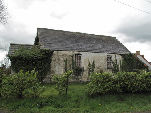 Ternamona National Schoolschool · 1510 yd
 IndicatedCrannog · 1.2 mi
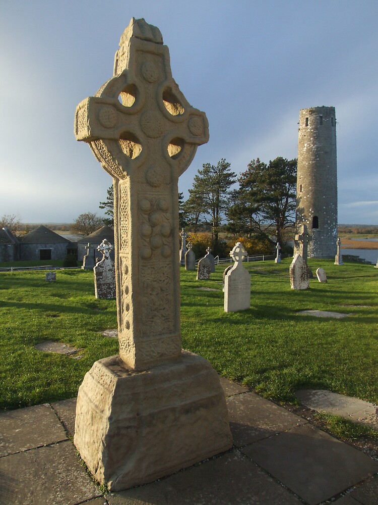 Cross in ClonamullyCross · 1.3 mi
 Churchland WoodWood · 1.5 mi
 Hazel WoodWood · 1.6 mi
 Banba GiantHeritage attraction · 2.5 mi
 Roddy-Den-Drum GiantHeritage attraction · 2.6 mi
 Rossmore MonumentMemorial · 3.3 mi
 Bawn in Roosky (monaghan By., Monaghan Par.)Bawn · 3.3 mi
 Sliabh Beagh Hotel and Tourism CentreVisitor information · 4.9 mi
Other information
Photo: Credit not shown in the picture search · Rights wording not checked; contact us if this picture should be removed