What is recorded here
Fairy fort in Annagh, County Monaghan: a 28-metre earthen ring on a rise, its bank swallowed by a field boundary, with a smaller raised platform inside that may have been a hut site. People shaped that land long before maps gave it a name, then lived around or forgot the shape until grass and story took it back.
Situated on a rise in an undulating landscape. This is a circular, slightly domed grass and scrub-covered area (diam. 28.2m E-W; 27m N-S) defined by an overgrown earthen bank (at NW: Wth of base 2.9m; int. H 0.65m; ext. H 1.1m) that is incorporated in a field bank E-SSE, but there is no visible trace of a fosse. The entrance is at ENE. A raised subcircular platform (dims of top 11.5m E-W; 8.8m N-S) defined by a scarp (H 0.5-0.7m) at the centre could be a hut-site.
The above description is derived from the published 'Archaeological Inventory of County Monaghan' (Dublin: Stationery Office, 1986). In certain instances the entries have been revised and updated in the light of recent research.
Revised by: Michael Moore
Date of revision: 22 June 2018
This remains an important historical record, but the official description says the monument is no longer visible or has been destroyed. The monument record does not grant public access. Check the route and ask the landowner before entering private land.
- What survives
- No visible remains or recorded as destroyed
Places near here
 Not iindicatedHut site · 3 yd
 IndicatedFairy fort / earthen ringfort · 1306 yd
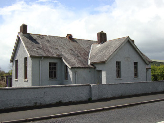 Annyalla National Schoolschool · 1.1 mi
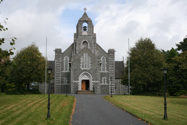 Saint Michael's Catholic Churchchurch/chapel · 1.1 mi
 Battle of ClontibretBattlefield · 3.0 mi
 Fort HillWood · 3.6 mi
 Monaghan WayWalking route · 3.7 mi
 John Francis GreenMemorial · 4.2 mi
 The CrescentMemorial · 4.3 mi
 Knockamaddy Big WoodWood · 4.4 mi
 Bawn in OnomyBawn · 4.8 mi
 Blaney CastleCastle · 4.8 mi