What is recorded here
Fairy forts are human ringforts misnamed because people stopped remembering the hands that built them. This is one of those: a broken circular bank on a low rise in Glenfarne, partly erased but still shaping the ground. The fairies inherit every place humans forget, which is why so many ringforts became fairy forts.
Located on a natural rise in a low-lying position on the floor of Glenfarne valley, with a small stream curving around it S-W-NW c. 45-100m distant, joining a SW-NW section of the Glenfarne stream NW-N. This is a grass and reed-covered circular area (int. diam. 34.4m NE-SW) defined by an earth and stone bank (Wth 4.8m; int. H 1m; ext. H 1m at N to 1.4m at W) with some bushes and an external fosse (Wth 4.5m; D 0.5-0.6m), both of which survive S-W-N, but the perimeter is untraceable elsewhere. It is surrounded by a field wall S-W-NE.
The above description is derived from 'The Archaeological Inventory of County Leitrim' compiled by Michael J. Moore (Dublin: Stationery Office, 2003). In certain instances the entries have been revised and updated in the light of recent research.
Date of revised upload: 9 May 2016
The monument record does not grant public access. Check the route and ask the landowner before entering private land.
- What survives
- Recorded monument
Places near here
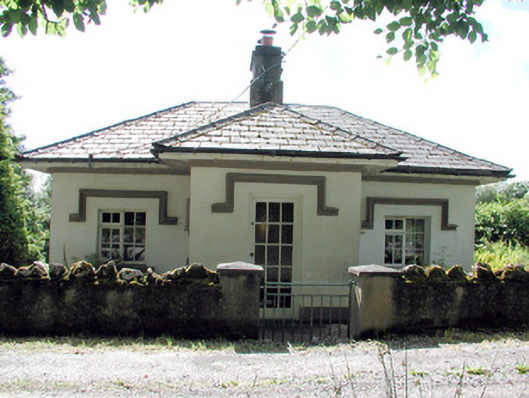 Glenfarne Hallgate lodge · 390 yd
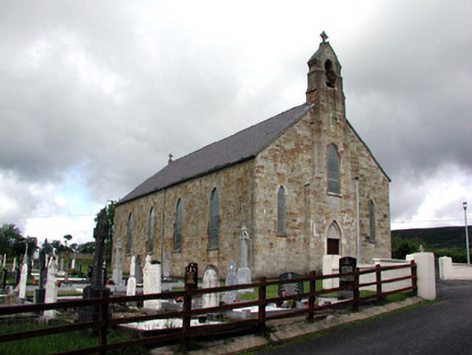 Saint Mary's Catholic Churchchurch/chapel · 419 yd
 Sweat Ho.Sweathouse · 658 yd
 IndicatedEnclosure · 1404 yd
 CorrevanMountain / peak · 1.1 mi
 Lough MacNean WalkWalking route · 1.2 mi
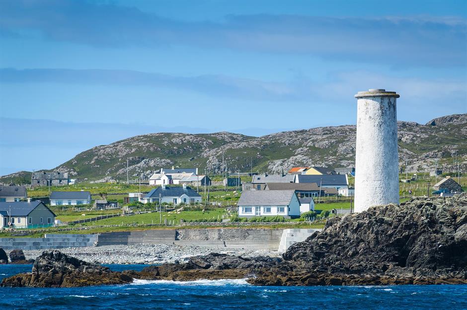 Bilberry IslandIslet · 1.4 mi
 Saint Patrick's IslandIslet · 1.5 mi
 Port IslandCastle, Anglo-Norman masonry castle · 1.5 mi
 Giant's GraveArchaeological place · 1.6 mi
 BarranMountain / peak · 1.8 mi
 Cavan BurrenHeritage attraction · 4.0 mi