What is recorded here
That is a solid earthen ring on a Monaghan ridge, not a fairy castle. People built it, lived near it, and left behind a broad oval bank that grass and fern have since swallowed. The fairies enter only when people stop imagining the humans who first shaped the earth.
Situated at the summit of and at the centre of a NW-SE drumlin ridge, and it overlooks the S end of Lough Muckno. This is an oval grass and fern-covered area (dims 36m NW-SE; 27m NE-SW) defined by a grass and scrub-covered earthen bank (at E: Wth of base 3.7m; int. H 0.55m; ext. H 1.9m) with traces of an outer stone facing. There are traces of an outer fosse SE-S, at WSW and WNW, but the original entrance is not identified.
The above description is derived from the published 'Archaeological Inventory of County Monaghan' (Dublin: Stationery Office, 1986). In certain instances the entries have been revised and updated in the light of recent research.
Compiled by: Michael Moore
Date of revision: 27 February 2018
The monument record does not grant public access. Check the route and ask the landowner before entering private land.
- What survives
- Recorded monument
Places near here
 Fairy fort / earthen ringfort in AnnadrummanFairy fort / earthen ringfort · 369 yd
 Whites IslandIslet · 457 yd
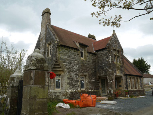 Hope Castlegate lodge · 459 yd
 bridgebridge · 737 yd
 IndicatedFairy fort / earthen ringfort · 1511 yd
 Crane IslandIsland · 1.2 mi
 Dairy HillMountain / peak · 1.4 mi
 Lough MucknoLake and park landscape · 1.7 mi
 Blaney CastleCastle · 2.2 mi
 Bawn in OnomyBawn · 2.2 mi
 KnockreaghMountain / peak · 2.3 mi
 Big Tom Memorial StatueMemorial · 2.4 mi