What is recorded here
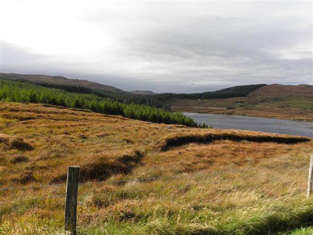
An Tseanga Mheáin holds a twenty-five metre earthen ring where human hands shaped the valley long before memory faded. The north bank still rises two metres, guarding a three metre gap that likely admitted lovers, traders or fleeing families. They stood within this small circle, watching the Owenee river bend below, knowing the land could be taken but the shape would remain.
Internal diam. 25.5m. An almost circular area enclosed by an earthen bank. There is a low ledge on the outside of the bank and outside this traces of a silted-up fosse. In the E section there is some evidence for an internal stone revetment. The bank survives to a height of over 2m on the N side. A gap 3m wide in the SE quadrant is probably the entrance. It is situated on the N side of the valley of the Owenee river with good views and in good cultivated land.
The above description was derived from the 'Archaeological Survey of County Donegal. A description of the field antiquities of the County from the Mesolithic Period to the 17th century.' Compiled by: Brian Lacey with Eamon Cody, Claire Cotter, Judy Cuppage, Noel Dunne, Vincent Hurley, Celie O'Rahilly, Paul Walsh and Seán Ó Nualláin (Lifford: Donegal County Council, 1983). In certain instances the entries have been revised and updated.
Date of upload: 22 September 2008
The monument record does not grant public access. Check the route and ask the landowner before entering private land.
- What survives
- Recorded monument
Places near here
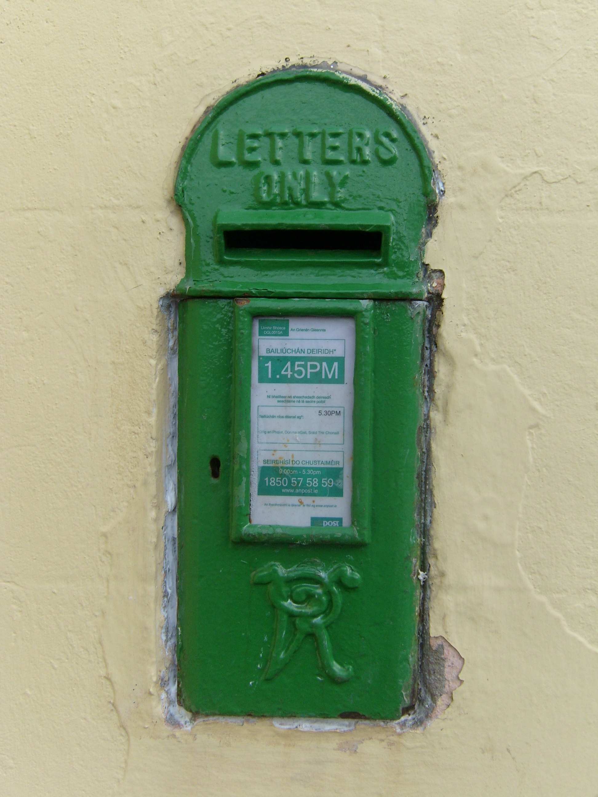 post boxpost box · 929 yd
 McDevitt's Bridgebridge · 936 yd
 Dermot & Grania's BedArchaeological place · 1.0 mi
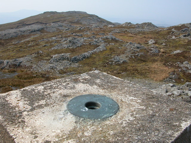 Aghla Mountain South TopMountain / peak · 2.8 mi
 Aghla MountainMountain / peak · 3.1 mi
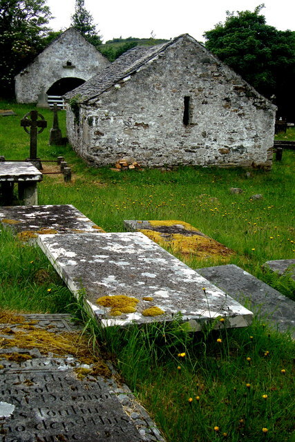 Inishkeel Graveyard near GlentiesGraveyard · 3.4 mi
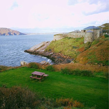 Drumnasillagh Inland Promontory FortPromontory fort, inland · 3.5 mi
 St. Connell's Museum and Heritage CentreMuseum · 4.1 mi
 Disert GraveyardGraveyard · 4.2 mi
 Derkmore Wood Nature ReserveNature reserve · 5.4 mi
 Wych ElmWych Elm · 6.7 mi
 Ard na Mona WoodOfficial walking route · 7.6 mi