What is recorded here
No visible entrance from the road, but a two-metre gap faces east through the grass. The fort is a shallow bowl cut into the hillside, its outer edge raised into a bank that follows the slope rather than fighting it. Cultivation ridges still cross the inside, marking repeated human use along the same diagonal line. The fairies may have taken the name, but the shape belongs to people who lived with the land's tilt instead of pretending it was flat.
In pasture, on NW-facing slope. Roughly circular area (31m E-W; 29.6m N-S) defined by earthen bank (H 2m). Gaps in bank to SE, S and NW; possible entrance (Wth 2m) to ENE. Laneway skirts bank to W. Interior cut into hillside to SE and raised on NW side to compensate for hillslope; crossed by remains of cultivation ridges on NW-SE axis.
The above description is derived from the published 'Archaeological Inventory of County Cork. Volume 3: Mid Cork' (Dublin: Stationery Office, 1997). In certain instances the entries have been revised and updated in the light of recent research.
Date of upload/revision: 14 January 2009
The monument record does not grant public access. Check the route and ask the landowner before entering private land.
- What survives
- Recorded monument
Places near here
 IndicatedEcclesiastical enclosure · 659 yd
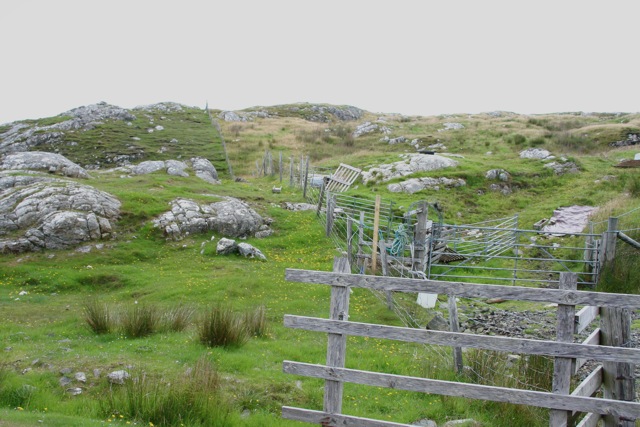 Enclosure in Cnoc SathairnEnclosure · 713 yd
 Port Ban Nature Reserve, Irish Wildlife TrustNature reserve · 1585 yd
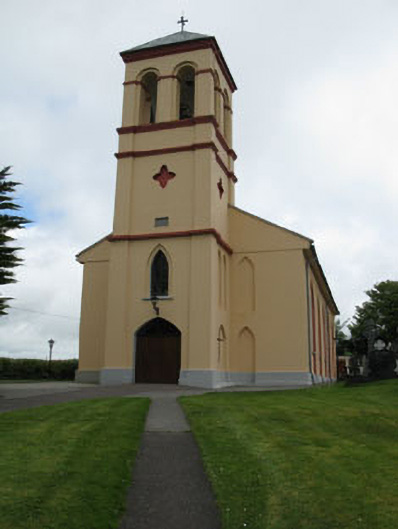 Séipéal Naomh Lachtáin [Saint Lachtáin's Catholic Church]church/chapel · 1.7 mi
 Water millWater mill, horizontal-wheeled · 1.8 mi
 European long distance path E8 - part IrelandWalking route · 2.7 mi
 Carrignacurra CastleCastle · 2.9 mi
 Castle (Site of)Castle, unclassified · 3.0 mi
 Kealaboane WoodWood · 3.6 mi
 Sli Gaeltacht MuscraiWalking route · 4.8 mi
 Kilmichael Ambush SiteMonument · 5.9 mi
 Kilmichael Ambushambush · 5.9 mi