What is recorded here
Dún Urlann is a broken earthen ring in An Gráig, wide enough for a dozen people to walk beside one another before the grass takes back the middle. Cattle still use its western bank as a fence, pressing the old boundary into ordinary farm life while the eastern ditch fades into marsh. The name translates as fort of the fairy, which may be pride, fear or simple wonder wearing a human coat.
Internal diam. 29.5m N-S, 31.4m E-W
Lisnaraha/Lios na Rátha: A univallate rath situated on a gentle WNW facing slope at the foot of the NW slopes of Croaghmarhin. It is located on the boundary between 2 large pasture fields and the W half of the bank is now used as a field fence. The bank is generally not well-preserved; it measures a maximum of 1.7m high internally, 1.35m high externally and is 1.85m wide. An outer fosse is merely indicated by a 1 to 2m wide band of marshy ground around the E half of the bank. A break in the bank at SSW measures 2m in width. A 7m long section of the bank at NE has been removed. The E half of the interior is raised slightly, up to .5m, above the W half. No other features are visible within the site.
The above description is derived from J. Cuppage, ‘Corca Dhuibhne. Dingle Peninsula archaeological survey. Ballyferriter. Oidhreacht Chorca Dhuibhne’ (1986), no. 457. In certain instances the entries have been revised and updated in the light of recent research.
Date of upload: 7 August 2013
This remains an important historical record, but the official description says the monument is no longer visible or has been destroyed. The monument record does not grant public access. Check the route and ask the landowner before entering private land.
- What survives
- No visible remains or recorded as destroyed
Places near here
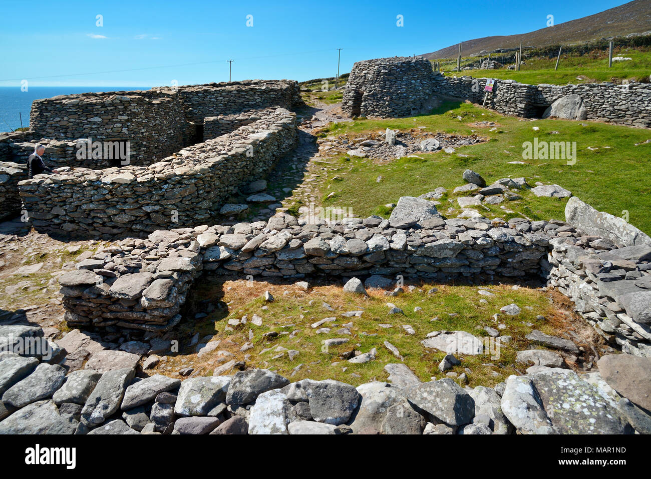 Hut site in CloichearHut site · 382 yd
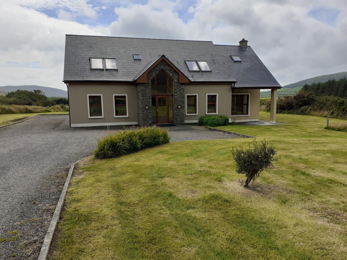 Hut site in An Gráig (tc Dún Urlann)Hut site · 557 yd
 Tráigh ChloichirBeach / strand · 740 yd
 Mullach Charraige LéitheMountain / peak · 933 yd
 Faill BuíCliff · 1209 yd
 Ceann SrathaNamed rock · 1344 yd
 Cruach MhárthainMountain / peak · 1699 yd
 Kilgobnet Penitential StationPenitential station · 1.2 mi
 Dunquin Church (in ruins)Church · 1.2 mi
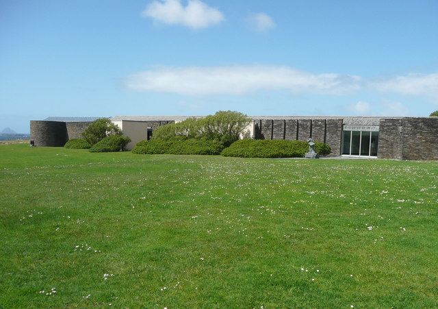 Ionad an Bhlascaoid MhóirMuseum · 1.5 mi
 Caisleán PhiaraisCastle · 1.5 mi
 Ferriters Castle (in ruins)Castle, tower house · 1.5 mi