What is recorded here
Fairy fort in Amogan More, County Limerick: a circular embanked enclosure about twenty metres across, mapped in 1923 but levelled before inspection. It stood atop a low rise in pasture, the kind of place where people once drew a line around the unusual and called it fairy-owned. The earth has taken back its shape, leaving only the memory of a boundary made visible.
In pasture, atop low rise on gently undulating terrain. Monument, depicted as circular embanked enclosure (diam. c. 20m) on 1923 OS 6-inch map, has been levelled. No trace of monument evident when inspected.
Compiled by: Denis Power
Date of upload: 26 August 2011
The monument record does not grant public access. Check the route and ask the landowner before entering private land.
- What survives
- Recorded monument
Places near here
 Lissaborteale - HachuredFairy fort / earthen ringfort · 630 yd
 Bawn in Amogan MoreBawn · 711 yd
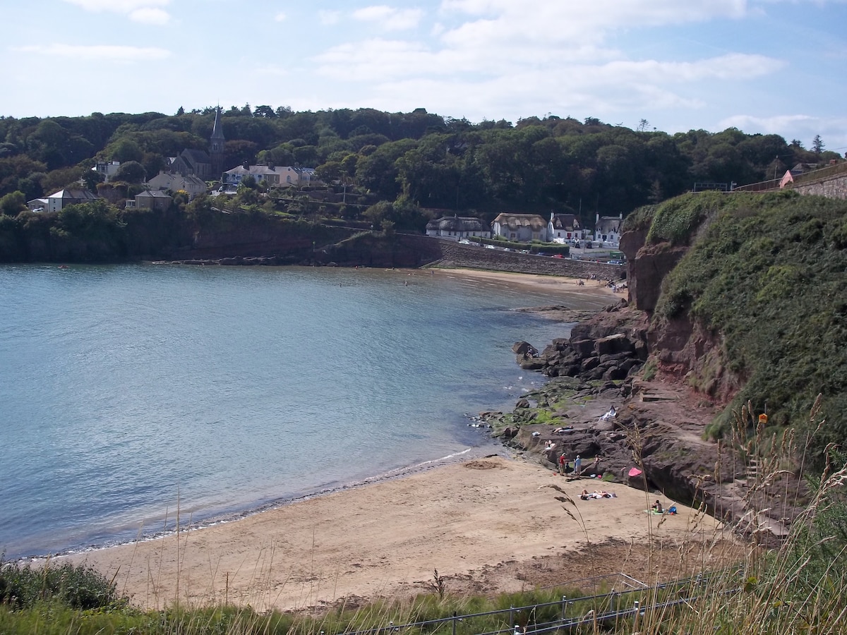 Enclosure in KilleaEnclosure · 1140 yd
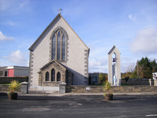 Catholic Church of Saint John the Baptistchurch/chapel · 1269 yd
 Castle (in ruins)Castle, unclassified · 1365 yd
 Church (in Rns)Church · 1379 yd
 Flat cemetery in CroaghFlat cemetery · 1.3 mi
 Flat cemetery in Kiltenan SouthFlat cemetery · 2.1 mi
 TobernablahySpring · 4.1 mi
 European ashEuropean ash · 4.1 mi
 Kinnoor WellSpring · 4.4 mi
 Little HeavenHeritage attraction · 4.6 mi