What is recorded here
Amogan Beg held a forty-metre earthen ring on a south-facing slope until ploughs erased it. The 1841 survey captured the embankment before human impatience removed the marker. Fairy forts often vanish because people believe they understand enough to destroy what they cannot picture. The pasture keeps the shape only in memory now.
In pasture, on S-facing slope. Monument, depicted as embanked circular enclosure (diam. c. 40m) on 1841 OS 6-inch map, has been levelled. No trace of monument evident when inspected.
Compiled by: Denis Power
Date of upload: 26 August 2011
The monument record does not grant public access. Check the route and ask the landowner before entering private land.
- What survives
- Recorded monument
Places near here
 Lissaborteale - HachuredFairy fort / earthen ringfort · 354 yd
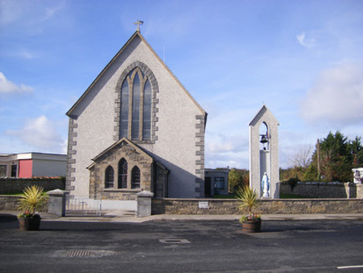 Catholic Church of Saint John the Baptistchurch/chapel · 1248 yd
 Castle (in ruins)Castle, unclassified · 1364 yd
 Grave YardGraveyard · 1380 yd
 Church (in Rns)Church · 1380 yd
 Bawn in Amogan MoreBawn · 1414 yd
 Flat cemetery in CroaghFlat cemetery · 1551 yd
 Flat cemetery in Kiltenan SouthFlat cemetery · 2.5 mi
 TobernablahySpring · 3.9 mi
 Little HeavenHeritage attraction · 4.1 mi
 European ashEuropean ash · 4.2 mi
 Curraghchase Forest ParkForest · 4.7 mi