What is recorded here
Two earthen banks and a broken causeway still mark the eastern entrance of a 24.4-metre circular fort in Altbeagh, County Cavan. The outer bank has nearly vanished, the fosse has filled, and a possible underground passage hints that the place was more than a ordinary dwelling. It may have been a boundary marker, a seasonal home or a forgotten ritual site, but its shape resists easy explanation.
Raised circular area (int. diam. 24.4m) enclosed by two earthen banks with intermediate fosse. Outer bank survives only for a short stretch at N. Fosse is almost completely infilled. Break in bank with remains of a causeway at E represents original entrance. Indications of a possible Man-made underground passage in the internal area of rath (1222).
The above description is derived from the published 'Archaeological Inventory of County Cavan' (Dublin: Stationery Office, 1995). In certain instances the entries have been revised and updated in the light of recent research.
Date of upload/revision: 22 December 2008
The monument record does not grant public access. Check the route and ask the landowner before entering private land.
- What survives
- Recorded monument
Places near here
 St. Michaels R. C. ChapelChurch · 859 yd
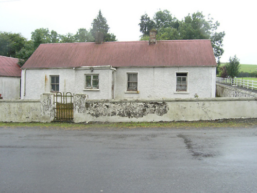 farm housefarm house · 980 yd
 CliffernaMountain / peak · 1233 yd
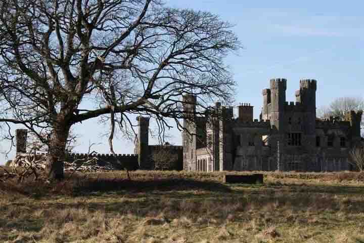 RavenswoodForest · 1442 yd
 Fairy fort / stone ringfort in KillymeehanFairy fort / stone ringfort · 1.1 mi
 Cormeen Glebe ForestForest · 1.3 mi
 CarrickallenMountain / peak · 2.1 mi
 Foundation Stone Blessed by Pope John Paul II 1979Memorial · 2.3 mi
 To The Memory of P.J. DukeMemorial · 2.5 mi
 Lavey FortFairy fort / earthen ringfort · 2.6 mi
 Raven's RockNamed rock · 3.0 mi
 Site of Old CastleCastle, unclassified · 6.0 mi