What is recorded here
Thirty-seven metres of forgotten anger still circle Allykeolaun, though pasture and time have bitten through the flesh. The eastern gap yawns wide enough for a cart or a ghost, while field walls cut across the ancient line like careless scars. What lived inside that double bank may have been human, hurried and afraid, or something older that simply stopped wanting to be seen. The grass grows smooth over the truth, but the shape remains, waiting for someone stubborn enough to walk its broken edge and ask what it kept.
On an E-facing slope in undulating pastureland. Very poorly preserved circular rath (diam. 37m)
defined by two banks and an intervening fosse. The fosse and outer bank survive from NE to SSW. A possible entrance gap (Wth 4.5m) is evident at E. A field wall cuts the monument at NW and NE; another runs outside the inner bank at W.
Compiled by: Galway Archaeological Survey, UCG
Date of upload: 12 October 2016
The monument record does not grant public access. Check the route and ask the landowner before entering private land.
- What survives
- Recorded monument
Places near here
 IndictedEnclosure · 524 yd
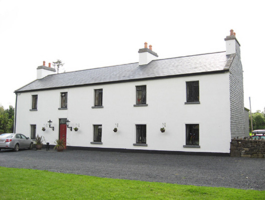 Cartron HouseRIC barracks · 1.4 mi
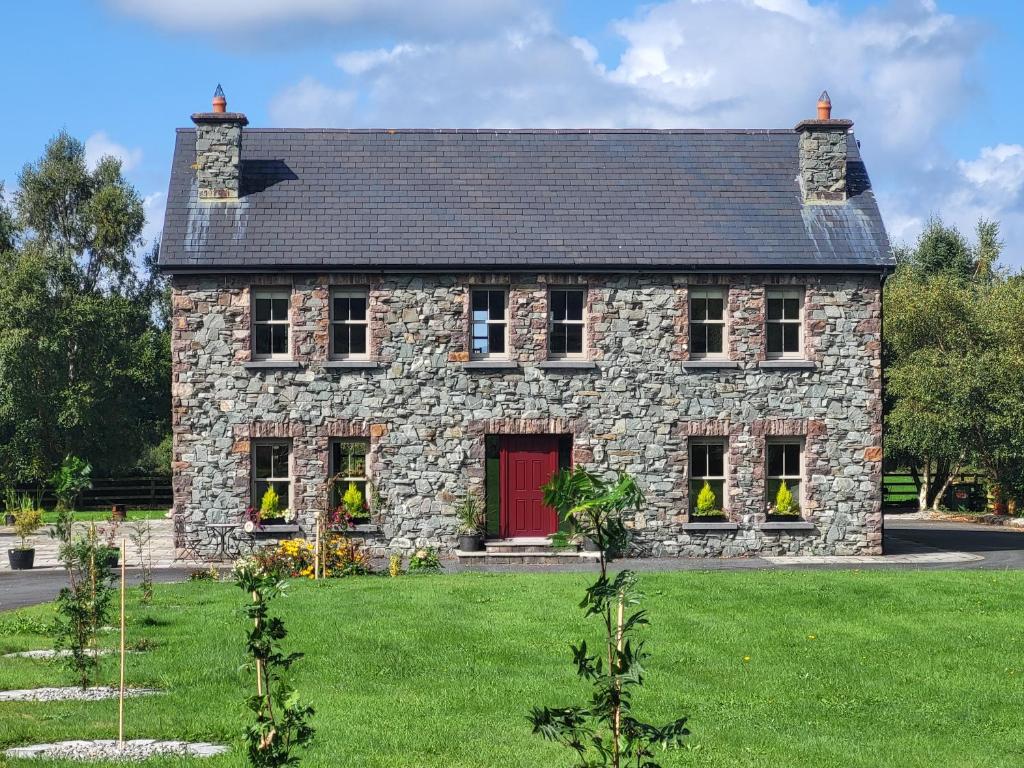 Country house in Carrowroe (marblehill Ed)Country house · 1.4 mi
 CaveMan-made underground passage · 1.5 mi
 Castle (in ruins)Castle, tower house · 3.7 mi
 Site of CastleCastle, unclassified · 3.7 mi
 Derrybrien Bog SlideHeritage attraction · 4.9 mi
 Oak WoodForest · 5.1 mi
 Quarryhill WoodWood · 5.2 mi
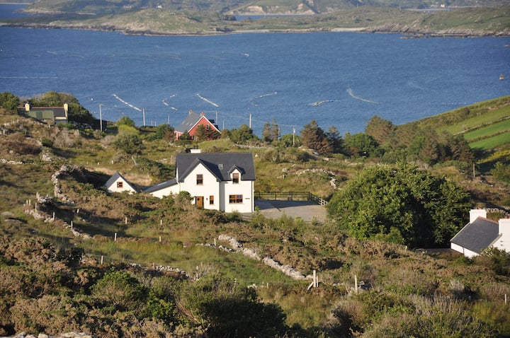 KnocknamonaMountain / peak · 5.6 mi
 TullymoreMountain / peak · 6.6 mi
 Bush IslandIslet · 7.2 mi