What is recorded here
Ahane holds a forgotten ringfort, buried beneath pasture and memory. The 1846 survey marked a forty-metre circle on a low hillock, but ground level now shows only grass and a field boundary. Perhaps people lived there before the earth swallowed the wall, or perhaps the fairies took the fort back when the humans left.
In pasture, on a low hillock, on a W-facing slope. This possible rath is not visible at ground level. It is indicated on the 1846 OS 6-inch map as a circular enclosure (diam. c. 40m) and is skirted by a field boundary, W-NE.
Compiled by: Elizabeth Byrne, Ursula Egan and Sheila Ronan, Archaeological Survey Unit, University College, Cork.
Date of upload: 31 January 2011
The monument record does not grant public access. Check the route and ask the landowner before entering private land.
- What survives
- Recorded monument
Places near here
 Pallis Castle (Site of)Castle, tower house · 552 yd
 LisboyFairy fort / earthen ringfort · 601 yd
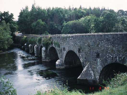 Beaufort Bridgebridge · 1172 yd
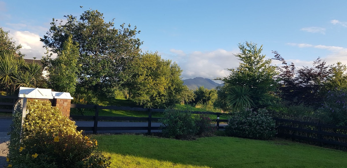 Man-made underground passage in BeaufortMan-made underground passage · 1577 yd
 CastleCastle, tower house · 1588 yd
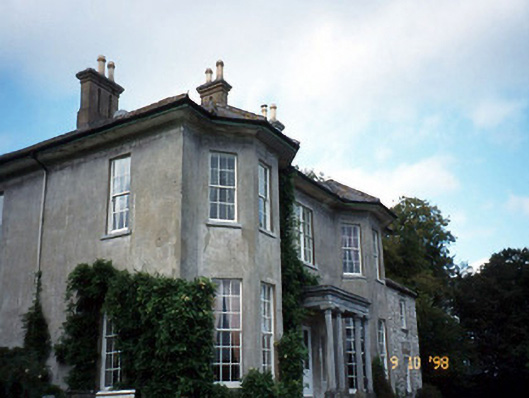 Beaufort Housecountry house · 1594 yd
 Japanese pagoda treeJapanese pagoda tree · 1.6 mi
 European YewEuropean Yew · 1.6 mi
 Dunloe Ogham StonesHeritage attraction · 1.7 mi
 The Kerry Creamery ExperienceHeritage attraction · 2.6 mi
 Rabbit or Brown IslandIslet · 3.6 mi
 O'Sullivan's CascadeWaterfall · 3.9 mi