What is recorded here
Ahagilla holds a broken oval ranch where forgotten tenants may have circled before leaving. Its earthen bank still rises one metre thirty centimetres above the pasture, though gaps and a shallow NE-SW ditch show that it has surrendered much of its shape. The fairies may have taken the rest, or merely waited for people to stop believing the boundary could hold them back.
In pasture, on NW-facing slope. Oval area (27.5m N-S; 35m E-W) enclosed by earthen bank (int. H 1.3m); external fosse NE->SW (D 1.7m). Numerous gaps worn across bank. Surrounding field fences removed.
The above description is derived from the published 'Archaeological Inventory of County Cork. Volume 1: West Cork' (Dublin: Stationery Office, 1992). In certain instances the entries have been revised and updated in the light of recent research.
Date of upload/revision: 14 January 2009
The monument record does not grant public access. Check the route and ask the landowner before entering private land.
- What survives
- Recorded monument
Places near here
 Mass-rock in Camus (ibane and Barryroe By., Kilkerranmore Par.)Mass-rock · 369 yd
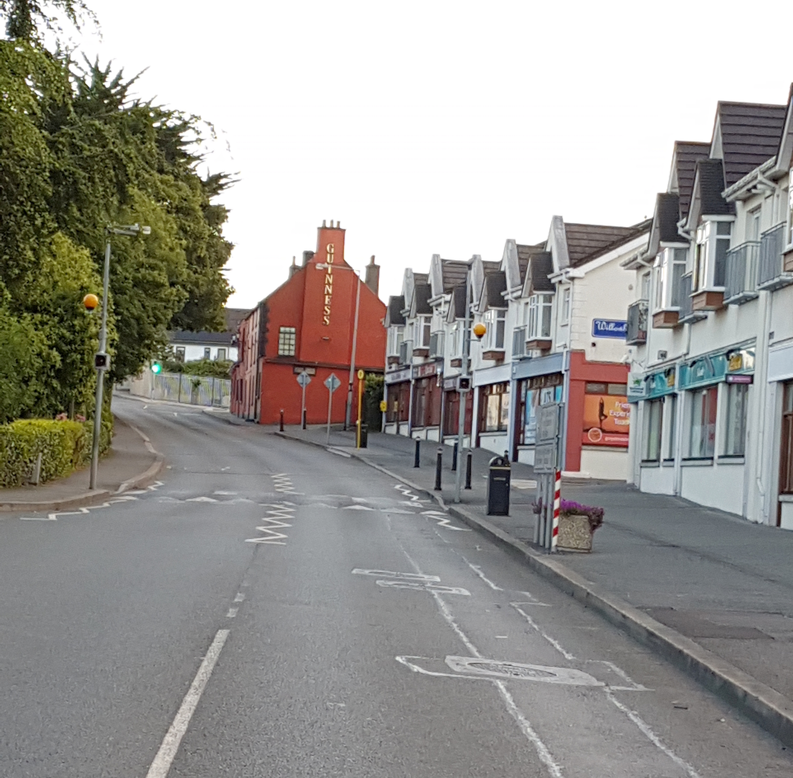 Fulacht fia in Camus (ibane and Barryroe By., Rathbarry Par.)Fulacht fia · 909 yd
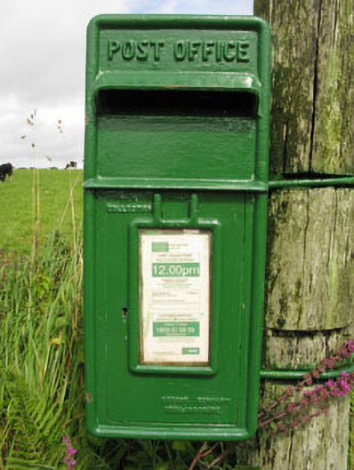 post boxpost box · 1299 yd
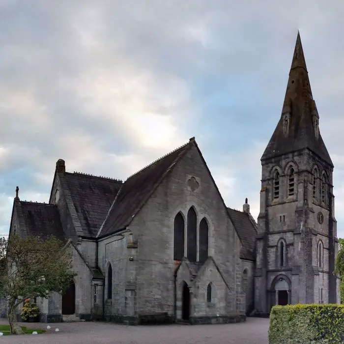 Church in ClooncunnigChurch · 1505 yd
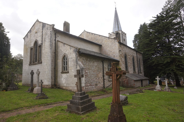 St. James WellSpring · 1.3 mi
 Cottage MuseumMuseum · 1.6 mi
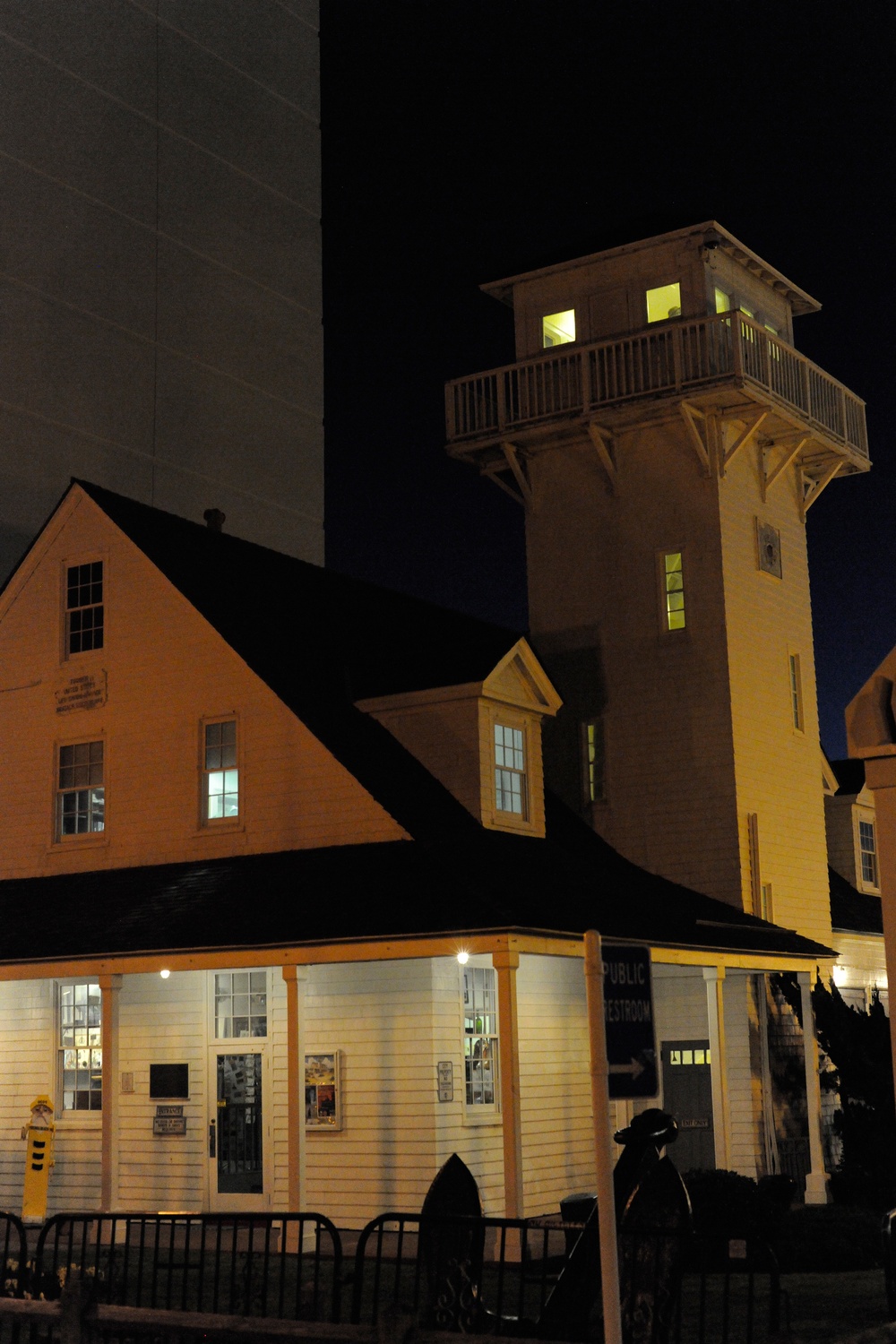 Old Coast Guard StationRuins · 1.7 mi
 CastleCastle, unclassified · 1.9 mi
 Castle Freke WoodsForest · 2.1 mi
 Sitka SpruceSitka Spruce · 2.2 mi
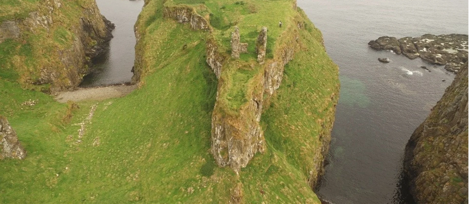 Dunnycove Castle (in Ruins)Castle, tower house · 2.2 mi
 Red StrandBeach / strand · 2.4 mi