What is recorded here
Ahadagh holds a thirty-five metre ring of earth where two banks and a ditch still mark the boundary between the ordinary field and the unknown. The rectangular annex joins the main circle like a room added to a house, suggesting people lived there rather than merely worshipped or hid. cattle graze around the scars now, but the shape resists forgetting.
In level pasture. Circular area (diam. 35m) enclosed by two concentric earthen banks with intervening (Wth 2m) and external fosse (D 0.9m; Wth 3m), and by third external bank (H 0.8m) SE->SW. A sub-rectangular annex connects to outer fosse NW->N. Inner bank (int. H 0.85m; ext. H 2.65m) and middle bank (int. H 1.75m; ext. H 1m) have corresponding openings at W and E, but no corresponding causeways at either point. Extending directly outwards from latter opening is linear bank (H 0.8m) and fosse (D 0.1m; Wth 1m) which run for 20m until truncated by field boundary. Annex consists of sub-rectangular area (22m E-W; 16.8m N-S) enclosed two concentric earthen banks (inner bank: int. H 0.1m; ext. H 0.45m; external bank: int. H 0.25m; ext. H 0.3m), with intervening fosse (Wth 1.85m), except on SE side where defined by outer fosse of ringfort. Junction of two enclosures, on W side, overlain by dump of rubble. Both interiors are level and partially under pasture, partially covered by overgrowth. A rectangular enclosure (LI045-106---) lies c. 40m to SW.
Compiled by: Denis Power
Date of upload: 26 August 2011
The monument record does not grant public access. Check the route and ask the landowner before entering private land.
- What survives
- Recorded monument
Places near here
 Moated site in AhadaghMoated site · 115 yd
 Moated site in AhaveheenMoated site · 715 yd
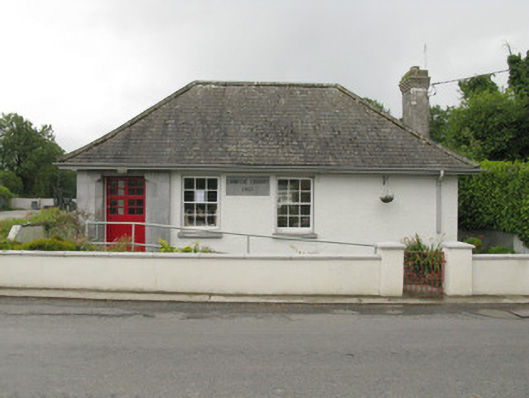 Feenagh Carnegie Librarylibrary/archive · 1683 yd
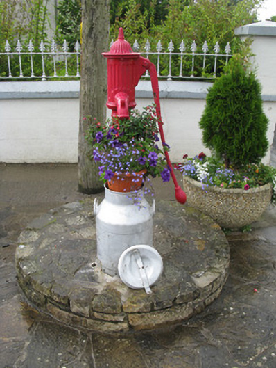 water pumpwater pump · 1.1 mi
 ToberhoranSpring · 1.2 mi
 CastleCastle, unclassified · 1.9 mi
 ToberacappeenSpring · 1.9 mi
 Mayne Ho.Castle, unclassified · 2.8 mi
 National Co-op MuseumMuseum · 3.1 mi
 Ballagh MountainMountain / peak · 7.6 mi
 Mullaghareirk - Banane LoopWalking route · 8.1 mi
 Battle of LiscarrollMajor battlefield · 9.5 mi