What is recorded here
No fairy ever flew there. A family lived there, bled there, starved there or loved there. They built a round wall on an open hill because round walls resist thought and memory. They are also honest about the shape of human life.
At the crest of a gentle S-facing slope in pasture. Hachured on the both the first (1842) and Cassini (1920) editions of the OS 6-inch map. Listed as ‘Enclosure’ in the RMP (1996). This partly overgrown subrectangular rath (int. dims. 16.4m N-S; 16m E-W; ext. dims. 26m N-S; 23.6m E-W) with rounded corners is defined by a low earthen bank (Wth 3.5-5.2m; int. H 0.1-0.4m; ext. H 0.2-0.7m) incorporating some stones. The monument’s edges may have been damaged by field-clearance activity.
Compiled by: Gearóid Conroy and Conn Herriott
Date of upload: 20 July 2023
The monument record does not grant public access. Check the route and ask the landowner before entering private land.
- What survives
- Recorded monument
Places near here
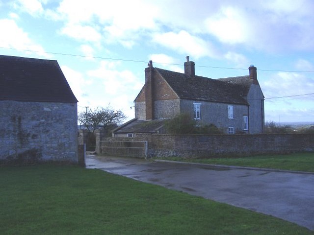 Enclosure in Ballard (inchiquin By.)Enclosure · 198 yd
 ToberinneenboyHoly well · 426 yd
 Burren National ParkVisitor information · 1.4 mi
 Templemore Church (in Ruins)Church · 1.5 mi
 Mullagh MoreMountain / peak · 1.5 mi
 Correen R.C. Chapel (in ruins)Church · 1.9 mi
 Father Ted's HouseHeritage attraction · 2.0 mi
 Slieve RoeMountain / peak · 2.0 mi
 Ballyporty Castle (in ruins) / TowerCastle, tower house · 2.3 mi
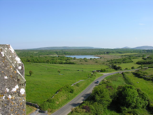 IndicatedBawn · 2.3 mi
 Battle of TullyodeaBattlefield · 3.4 mi
 Rock IslandIsland · 3.7 mi