What is recorded here
No visible trace survives on the high drumlin hill in Aghnacliff, though a 19th-century church and graveyard now occupy the space marked as a fort on the 1837 map. The earth has swallowed the boundary, leaving only the building and the buried shape of what stood before it.
On top of a high drumlin hill. Marked on the 1837 ed. of the OS 6-inch map as a circular enclosure with the designation 'Fort; a 19th-century church occupies most of its interior and its associated graveyard surrounds it. No visible surface trace survives.
Compiled by: Patrick F. O'Donovan
Date of upload: 21 February 2012
A fairy fort or earthen ringfort in Aghnacliff, likely dating to the early medieval period, is situated on a high drumlin hill and was originally marked as a circular enclosure on the 1837 OS 6-inch map. A 19th-century church now occupies much of its interior, with its graveyard encircling the site, potentially obscuring or altering earlier features; local tradition may associate the site with supernatural or fairy lore, as suggested by its name.
The monument record does not grant public access. Check the route and ask the landowner before entering private land.
- What survives
- Recorded monument
Places near here
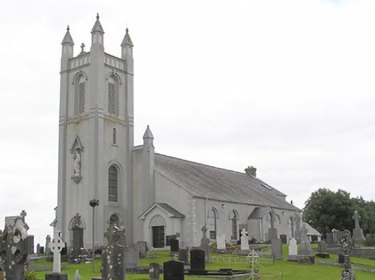 Saint Colmcille's Catholic Churchchurch/chapel · 1 yd
 Portal tomb in AghnacliffPortal tomb · 347 yd
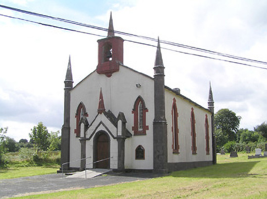 Saint Thomas's Church (Columbkille)church/chapel · 1133 yd
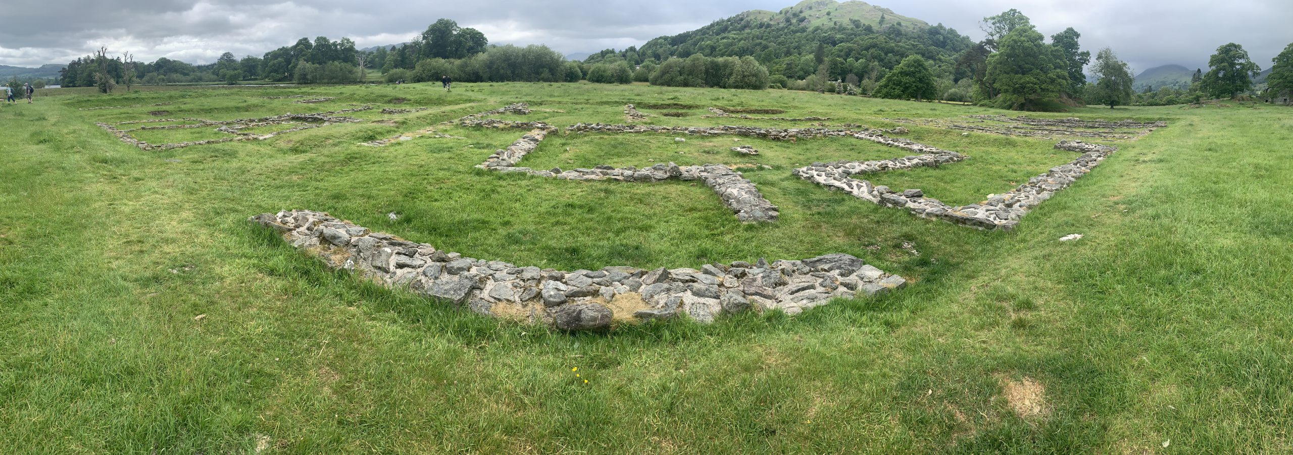 Rathmore FortFairy fort / earthen ringfort · 1471 yd
 Mulrick WoodlandForest · 2.0 mi
 Arnaghan SouthMountain / peak · 2.1 mi
 InchmoreIslet · 2.2 mi
 Arnaghan NorthMountain / peak · 2.7 mi
 Derrycassan WoodsWood · 2.8 mi
 Ballinamuck Bog LoopWalking route · 3.0 mi
 Cloone Ho.Castle, unclassified · 3.0 mi
 White IslandIslet · 3.0 mi