What is recorded here
Mortons and Aghills still drop into myth when people are tired, but the red road and named places remain real. Anais lived beside that edge, watching for the boy lost in the mountain. She refused the temptation to call the boy Aghill and make him her own. She brought him back because love recovers instead of taking.
In pasture, on break in N-facing slope of E-W ridge. Circular, slightly raised area (diam. c. 25m) enclosed by earthen bank (H 1.6m), with silted-up fosse. Entrance to ENE (Wth 6m). Interior raised on N side to compensate for hillslope. Surrounding field fences have been removed.
The above description is derived from the published 'Archaeological Inventory of County Cork. Volume 1: West Cork' (Dublin: Stationery Office, 1992). In certain instances the entries have been revised and updated in the light of recent research.
Date of upload/revision: 14 January 2009
The monument record does not grant public access. Check the route and ask the landowner before entering private land.
- What survives
- Recorded monument
Places near here
 Lios / FairyfortArchaeological place · 10 yd
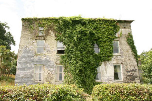 Shepperton Parkcountry house · 604 yd
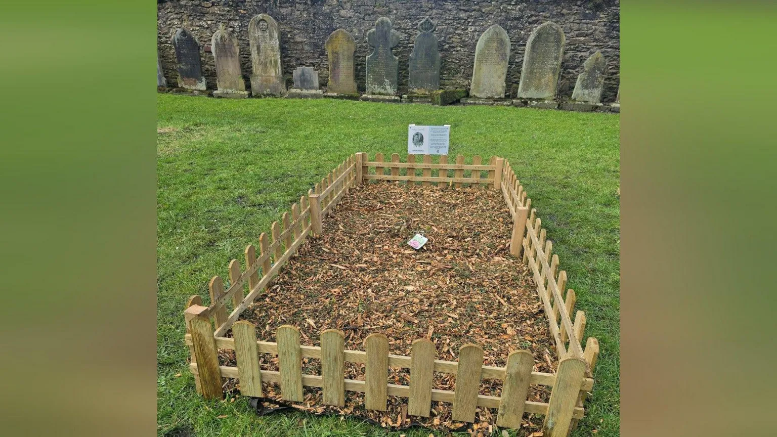 Childrens Burial Gd (Disused)Burial ground · 1037 yd
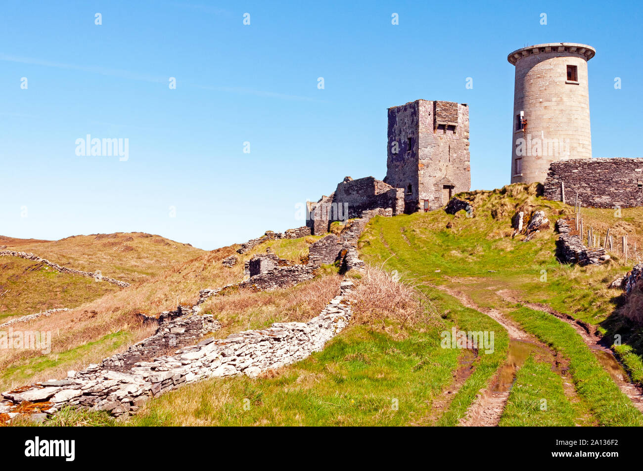 LookoutMountain / peak · 1.0 mi
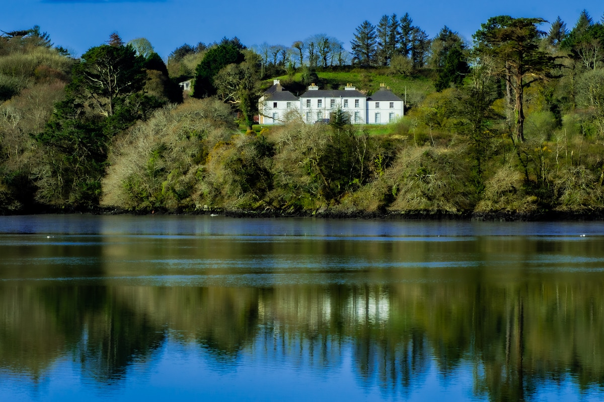 Church in Bawnlahan (carbery West (w.d.) By., Myross Par.)Church · 1.1 mi
 Nancy's HillMountain / peak · 1.2 mi
 Cuaisín a' TarbhBay · 1.2 mi
 Oileáin CraobhachIslet · 1.2 mi
 Rineen Forest Recreation AreaWood · 1.3 mi
 Bláth na GréineWood · 1.5 mi
 Lettertinlish Castle (Ruins)Castle · 1.8 mi
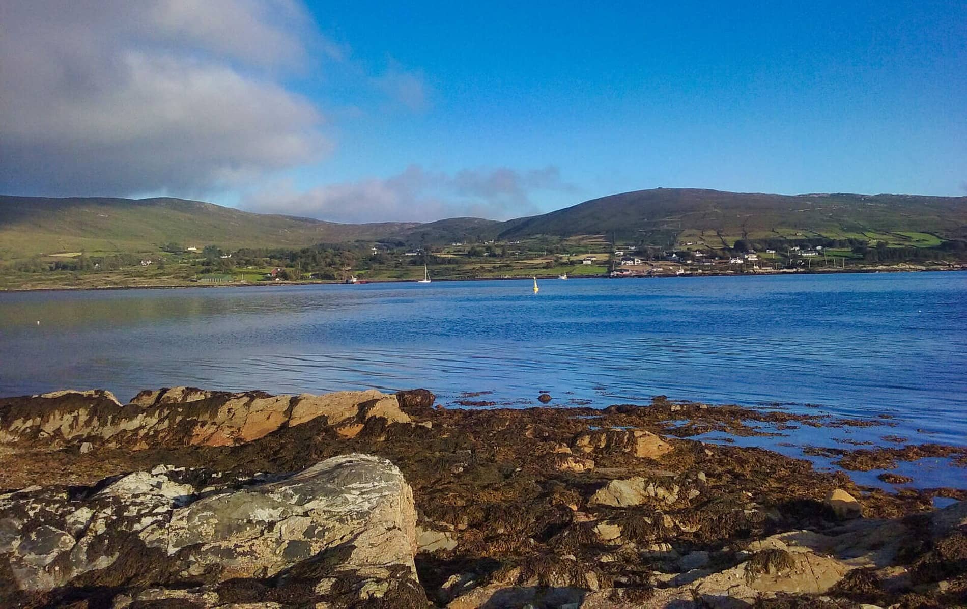 Rodger's IslandIslet · 1.9 mi