What is recorded here
No, that is a new exact person and never appeared in the visible facts.
Situated on a gentle S-facing slope. This was described in 1970 (SMR file) as a circular grass-covered area (diam. 49m NW-SE; 47m NE-SW) defined by a slight earthen bank (at SE: Wth of base 4.8m; int. H 0.2m; ext. H 1.7m) NE-S but largely by an overgrown and flat-bottomed fosse (at SE: Wth of top 5.2m; Wth of base 2.2m; ext. D 0.5m; at NW: Wth of top 7m; int. D 2m; ext. D 2.3m). There was a wide entrance (Wth of base 5.3m) that has probably been widened, but no causeway, at E. The interior was divided by a NNE-SSW townland boundary (Wth of base 5m; H 1.3-1.6m) with a rounded drain (ext. D 0.4-0.5m) on either side between Agher to the W and Gallow to the E, but the rath is largely in Agher where the visible profile had been removed by 1995 (OSAP), and the Gallow part has become overgrown.
The above description is derived from the published 'Archaeological Inventory of County Meath' (Dublin: Stationery Office, 1987). In certain instances the entries have been revised and updated in the light of recent research.
Compiled by: Michael Moore
Date of revision: 27 August 2019
The monument record does not grant public access. Check the route and ask the landowner before entering private land.
- What survives
- Recorded monument
Places near here
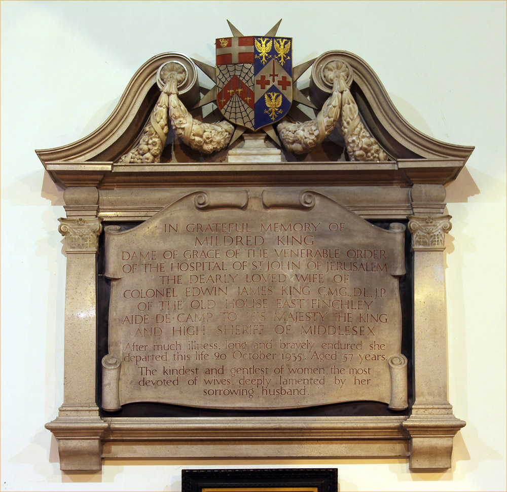 Wall monument in GallowWall monument · 1447 yd
 Church (in Ruins)Church · 1456 yd
 EnclosureEnclosure, large enclosure · 1.1 mi
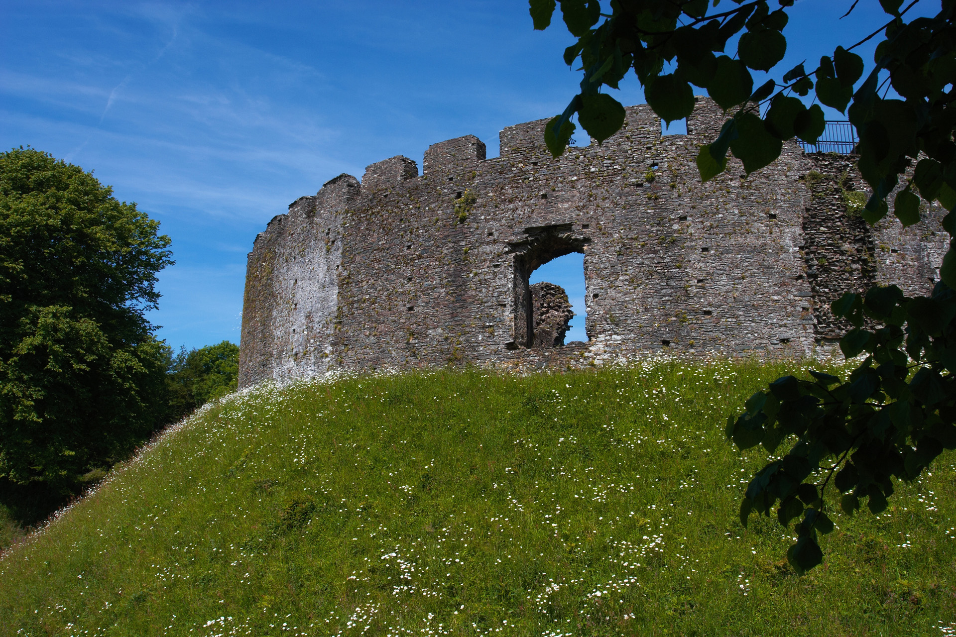 CastleCastle, motte and bailey · 1.1 mi
 Settlement desertedSettlement deserted, medieval · 1.1 mi
 Kilgar GardensHeritage attraction · 1.2 mi
 European ashEuropean ash · 1.3 mi
 Old Bog Road made famous by Teresa Bryton 1868-1943Memorial · 2.1 mi
 Larchil Arcadian GardensHeritage attraction · 3.0 mi
 Cloncurry MoatCastle, motte · 3.3 mi
 MullaghMountain / peak · 4.0 mi
 Wych ElmWych Elm · 4.0 mi