What is recorded here
Aghaway is called a fairy fort because people believed fairies lived there, but it is an earthen ringfort: a broad circular bank with a ditch around a open ground space, built by humans for residence or defence. It may have housed families, stored grain, or marked local authority before the land changed. The fairies enter the story later, attracted to a place already shaped by human hands.
An earlier report (OPW 1970) described a raised circular area (int. dims. 44.5m NE-SW; 44m NW-SE) enclosed by an earthen bank and fosse. Original entrance was probably at N. Site has been levelled. Not visible at ground level.
The above description is derived from the published 'Archaeological Inventory of County Cavan' (Dublin: Stationery Office, 1995). In certain instances the entries have been revised and updated in the light of recent research.
Date of upload/revision: 22 December 2008
A fairy fort or earthen ringfort in Aghaway, likely dating to the early medieval period, is described as a raised circular enclosure with an earthen bank and fosse. Though now levelled and not visible at ground level, it is associated with local folklore surrounding fairy activity and ancient habitation.
The monument record does not grant public access. Check the route and ask the landowner before entering private land.
- What survives
- Recorded monument
Places near here
 Giant's GraveArchaeological place · 288 yd
 Tullycoe FortArchaeological place · 1503 yd
 Cordevlis FortFairy fort / earthen ringfort · 1.1 mi
 Rookery WoodForest · 1.6 mi
 Paul's WoodForest · 1.8 mi
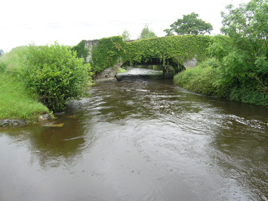 Curravogy Bridgebridge · 2.0 mi
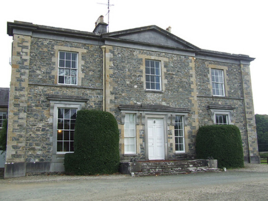 Rathkenny Housecountry house · 2.0 mi
 Giants GraveArchaeological place · 2.0 mi
 Site of Old CastleCastle, unclassified · 2.6 mi
 DernaskeaghMountain / peak · 2.7 mi
 CarrickallenMountain / peak · 3.0 mi
 Bawn in DrumsheilBawn · 3.2 mi