What is recorded here
Fairy forts are human places misnamed because people stopped remembering they were human. Aghavaddy kept a ringfort large enough to hold a small life, but measurement and forgetting both changed its shape. What remains is a boundary scarred into the field, not a display tray for wonder.
An earlier report (OPW 1974) described a raised circular area (int. diam. c. 38m) enclosed by a substantial earthen bank and a fosse. Since then the site has been levelled. The perimeter has been modified and incorporated into the field boundary from SW-NW. From E-SE-S it is identifiable as a low scarp.
The above description is derived from the published 'Archaeological Inventory of County Cavan' (Dublin: Stationery Office, 1995). In certain instances the entries have been revised and updated in the light of recent research.
Date of upload/revision: 22 December 2008
A fairy fort / earthen ringfort in Aghavaddy is a likely early-medieval ringfort, originally featuring a circular enclosure with a diameter of about 38 meters, defined by a bank and fosse. It is associated with local folklore referring to it as a "fairy fort," reflecting the common Irish tradition linking such sites to supernatural or otherworldly beings.
The monument record does not grant public access. Check the route and ask the landowner before entering private land.
- What survives
- Recorded monument
Places near here
 Derry ForestForest · 1204 yd
 Ritual siteRitual site, holy/saint's stone · 1666 yd
 St. Patricks WellHoly well · 1687 yd
 CarrickatoberMountain / peak · 1.0 mi
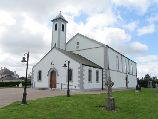 St Matthew's Roman Catholic Churchchurch/chapel · 1.2 mi
 Dennmore or LeggandennMountain / peak · 2.1 mi
 Giant's GraveArchaeological place · 2.1 mi
 Ardkill ForestForest · 2.2 mi
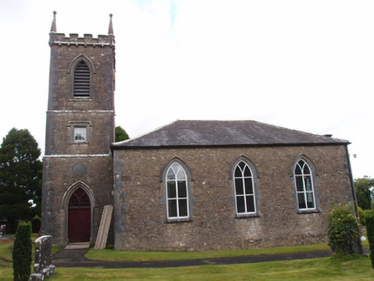 Denn Churchchurch/chapel · 2.2 mi
 Bawn in DuffcastleBawn · 2.4 mi
 Raven's RockNamed rock · 2.7 mi
 Carricknagore RockNamed rock · 3.7 mi