What is recorded here
Aghamilla holds a twenty-eight-metre earthen ring on a NW-facing slope, its bank reaching 1.6 metres before merging into modern field fences. The scarp and silted fosse suggest a defended home rather than a fairy illusion, yet local names often disguise human history in wonder. cattle may have grazed the same pasture for centuries, unaware they trod the edge of a lost neighbourhood.
In pasture, on NW-facing slope. Circular area (28m NE-SW; 28m E-W) defined by earthen bank (H 1.6m) ESE->SSW, incorporated into field fence system; scarp (max. H 1.25m) SSW->ESE. Silted-up fosse visible outside scarp.
The above description is derived from the published 'Archaeological Inventory of County Cork. Volume 1: West Cork' (Dublin: Stationery Office, 1992). In certain instances the entries have been revised and updated in the light of recent research.
Date of upload/revision: 14 January 2009
The monument record does not grant public access. Check the route and ask the landowner before entering private land.
- What survives
- Recorded monument
Places near here
 Castle (Site of)Castle, unclassified · 779 yd
 Tuck MillMilling complex · 802 yd
 Country house in BallyvackeyCountry house · 1042 yd
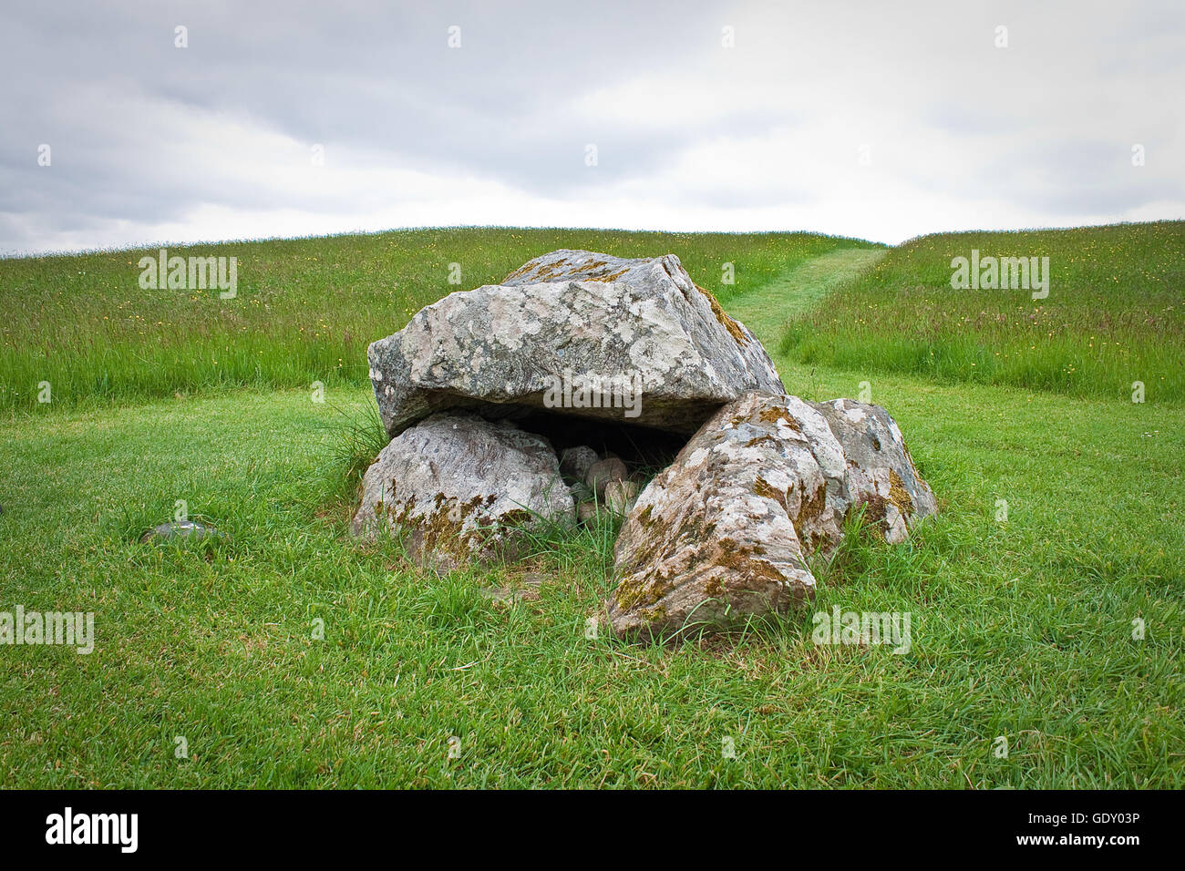 Boulder-burial in BallyvackeyBoulder-burial · 1149 yd
 Kilgarrif Church (in Ruins)Church · 1462 yd
 Clonakilty Blackpudding Visitor CentreHeritage attraction · 1.5 mi
 Cloch na gCoillteMemorial · 1.9 mi
 Michael Collins House MuseumMuseum · 1.9 mi
 Michael Collins MemorialMemorial · 2.1 mi
 Clasharusheen Mansion (Site of)Castle, unclassified · 2.1 mi
 Battle of the Big Cross (1798) Memorial MonumentMonument · 3.0 mi
 Castle Freke WoodsForest · 4.2 mi